FIRE ADVISORYNevada is facing critical fire conditions with camp fire restrictions in effect - prevent and prepare!
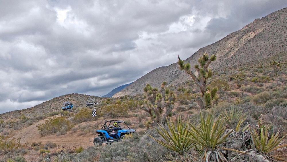
The Jean and Roach Dry Lake Area provides hundreds of miles of trails to the casual and expert Off-highway vehicle enthusiast alike. At the center of the area is the area’s namesake, Jean Dry Lake, with Roach Dry Lake to the south along Interstate 15.
Although the name implies that the lakebed is dry, it has the potential of flooding and holding water long after a rainfall. After substantial precipitation events, the lakebed can hold several inches to several feet of water. Travel on the lakebed after a precipitation event is not recommended. Outside of the dry lakebed, motorized vehicle use is limited to existing roads and trails.
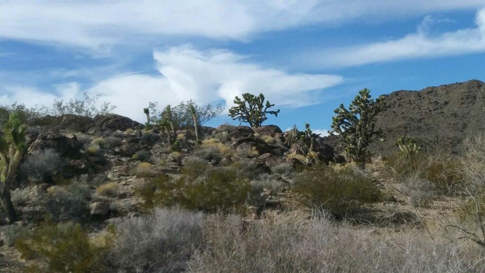
To the north and east, trails will take the rider to the hills surrounding the McCullough Wilderness and Sloan Canyon National Conservation Areas. No motorized use is allowed in these areas.
This trail system borders several wilderness areas, only hikers and equestrians are allowed within the wilderness boundary. Motorized and mechanized use is only permitted on surrounding non-wilderness trails. Please be respectful of the wilderness boundary and only travel on designated roads and trails for your activity type. Horses are allowed and only certified weed free hay can be brought in.
The Bureau of Land Management has not completed Travel and Transportation planning for this area. The undesignated roads and trails shown on this map are informational only and are subject to change. This map implies no right of access across any private lands displayed on this map. Please follow Responsible Recreation guidelines and stay on existing roads and trails.For more information visit the BLM website!
For rules and regulations on OHV use in Nevada, visit Nevada's OHV website.
Lodging and other services are not too far from the trails. Primm Las Vegas and Boulder City are the closest resource centers.
For more non motorized or boating fun, be sure to take a trip to the Colorado River or Lake Mead Recreation Area!
Camping and other recreation activities are also located at Big Bend State Recreation area near Laughlin.
For more information visit the BLM website or contact:
Bureau of Land Management - Las Vegas Field OfficeSeveral staging areas and trail heads are located east of the 15 freeway near Jean.
Success! A new password has been emailed to you.
