This Byway provides excellent accessibility, with roads leading to all its major scenic features. Recreational, historical and educational resources within a forty-mile radius of the Byway offer the visitor many diverse experiences. Attractions include historic mining towns, a wildlife management area, picnicking, rockhounding, hunting, camping, photography, backpacking, wildlife viewing, bicycling and horseback riding.
The entire Byway lies within the ancient Lunar Lake caldera, a large, partly collapsed volcanic vent. From the crater's rim, twenty extinct volcanoes are visible in the nearby hills as well as sweeping views of the surrounding basins and mountain ridges. Returning to the main road, the Byway crosses US Highway 6 and continues 1.5 miles on an unpaved road to the base of the Black Rock Lava Flow. The lava flow, perhaps the youngest of its type in the western continental United States, covers approximately 1,900 acres. The lava came from within the earth's interior and gives us clues as to the make up of the Earth's interior.
The volcanic features of the Lunar Crater Volcanic Field have been the focus of more than fourteen scientific research papers. Much of this research was done in the 1960's and 70's as part of scientific studies connected to the United States' space program. The information obtained assisted the astronauts in the identification of similar features on the lunar landscape.
Depending on winter snows, the Byway is usually passable from late March through October. Spring and fall are both pleasant times to drive the byway. Normally, the route is suitable for two-wheel drive cars, although road conditions can change making a four-wheel drive vehicle necessary in some spots.
This motorized recreation route borders two wilderness areas. Only non-mechanized and non-motirized activies are allowed within all wilderness areas. Please stick to designated rotues for your recreation type.
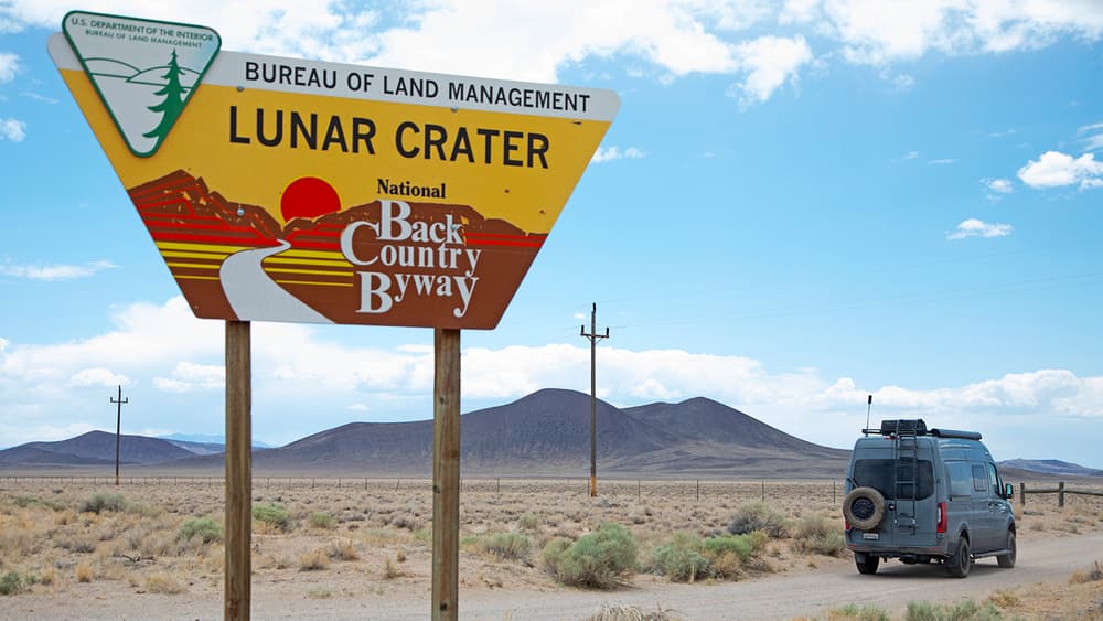
For mroe informaiton on Lunar Crater visit the BLM website.
For more informaiton visit the BLM Back Country Byway website or contact:
Bureau of Land Management - Tonopah Field OfficeAccess the Lunar Crater Back Country Byway via Hwy 6, 80 miles (1.5 hrs) west of Tonopah.
Success! A new password has been emailed to you.
