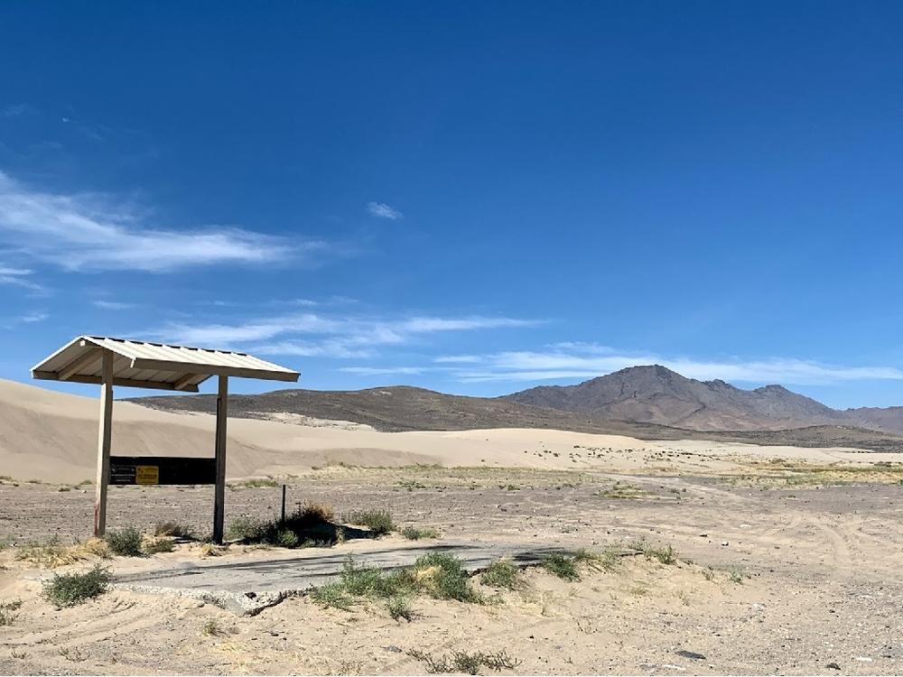
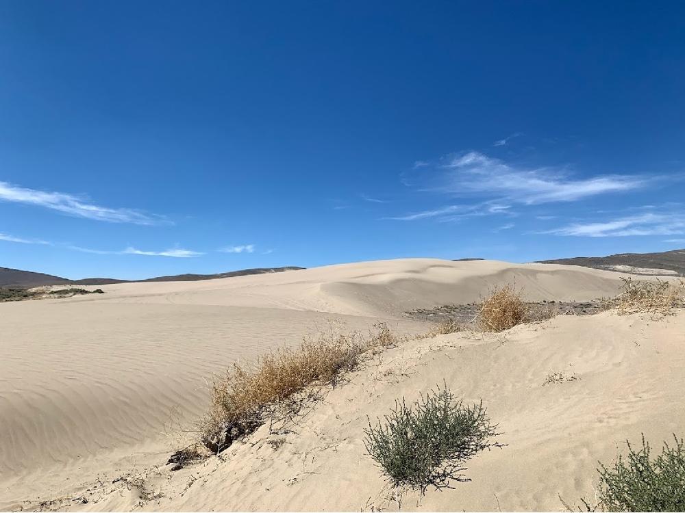
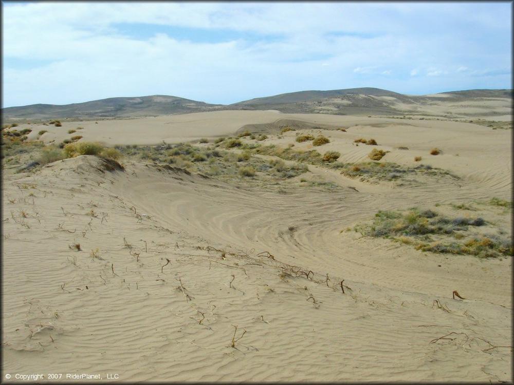
The dunes are located on a “checkerboard” of public and private land. While all individual dunes are less than 100-foot-tall, this “low-lying” dune field stretches approximately 20 miles east to west. Visitors can enjoy camping, off-highway vehicle riding (OHV), hiking, photography and more on the scenic backdrop of the dune fields.
From the staging area on the East side, the dunes stretch over a 40 square mile area, for about 14 miles Westward. Additional dunes are interspersed among low sage hills over an even wider surrounding area. With no fee station and plenty of space to recreate, this is one of the region’s most popular OHV play areas.
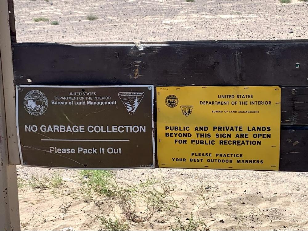
Please note that OHV use is restricted to designated roads when travelling off of the dunes. Private property and highway right-of-way abuts the recreation areas, so please be mindful of boundaries and signage.
For lodging and activities information visit the City of Winnemucca's website.
The Bureau of Land Management has not completed Travel and Transportation planning for this area. The undesignated roads and trails shown on this map are informational only and are subject to change. This map implies no right of access across any private lands displayed on this map. Please follow Responsible Recreation guidelines and stay on existing roads and trails.
For more information visit the Winnemucca BLM website or contact:
Bureau of Land Management - Winnemucca District OfficeFrom downtown Winnemucca via Merlarkey Street/US-95 North:
Success! A new password has been emailed to you.
