Spring has sprung in Nevada! Discover the best places to view wildflowers here!

Boundary Peak

A strenuous, yet rewarding, hike that takes you to the tallest peak in the Silver State!
Trail Uses
Hiking
Location
Esmeralda County
Length
8.00 miles (Round Trip)
Difficulty
Expert
Town
Dyer
Surface
Dirt
Pets
Permitted on Leash
Fees
No
Wilderness Areas
Boundary Peak Wilderness Area, White Mountains Wilderness Area

Description

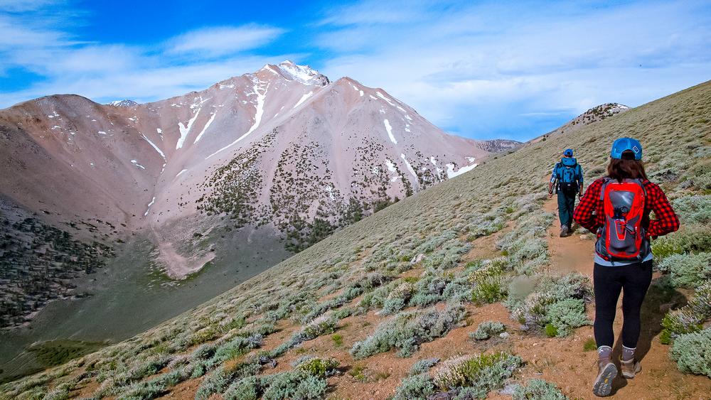
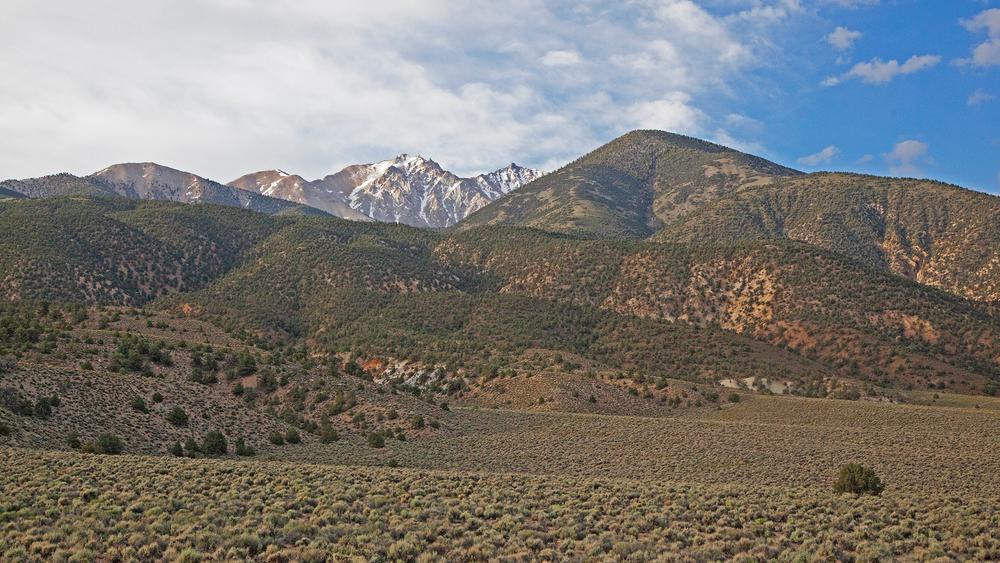
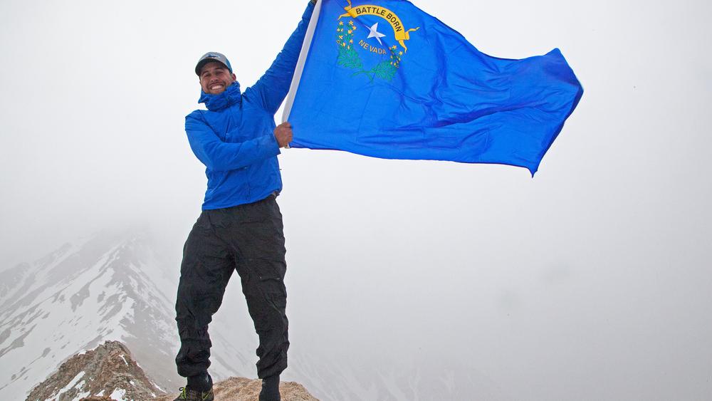
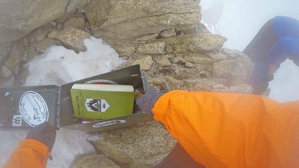
There are two different trails that will lead you to the Boundary Peak Summit, the Queens Canyon trail and the Trail Canyon trail. Both are considered strenuous and may take some serious navigational skills as the trail may have faded due to lack of use. Plant to pack plenty of water, as there are no water sources aside from snow on the ground during winter months. It is advised to arrive a few days early to acclimate to the elevation change as this trail begins around 9,000 ft. and reaches 13,140 ft. 

Other Information

Check out the US Forest Service trails map here!

For more information on accessing the Boundary Peak summit, visit the USFS webpage here. 

Trail Manager

For more information visit the US Forest Service website or contact:

U.S Forest Service - White Mountain Ranger District

U.S Forest Service - White Mountain Ranger District
798 North Main Street
Bishop , California 93514
Phone: (760) 873-2500
View website

Download

Download map files for your own use.

Working with Downloaded Files

Recreate Responsibly

Leave What You Find
Respect natural resources, cultural and historic items, and wildlife by looking rather than touching.
Legend
|
Hide All

Trailhead Information

There are two ways to access Boundary Peak, via the Queens Canyon trailhead or the Trail Canyon Trailhead.

The trail heads are located off of US-route 6, either from Nevada or California. Turn onto Queen Canyon road and keep left at the fork (the widest part of the road).  Follow this dirt road for about 7 miles and you will reach the Queens Canyon trailhead or continue along for another 5 miles to reach the Trail Canyon trailhead. A dirt turn out is located at each trail head allowing for easy access to trailheads. 

A 4WD vehicle is not required but a high clearance vehicle is. 

Click on a parking icon to get custom directions
Please Log In or Create Account to add comments.
SHARE THIS TRAIL
PRINT THIS TRAIL

Add Trail Log

Please wait…
Facebook Instagram Twitter YouTube
Join In on the Fun!
Log in or create an account below to unlock all the great features of Nevada Trail Finder: keep track of trails you want to do, preserve memories of trails you’ve done, earn badges, and more!
Your log in attempt was not successful. Please try again.
    Lost your password? Reset your password
    Don't yet have an account?
    There was an issue with your submission. Please try again.
      * Indicates required field
      Already have an account? Login here
      Enter your username, and we will send you a new, randomly generated password to your email account.
      There was an issue with your submission. Please try again.

        Success! A new password has been emailed to you.

        Log in now

        Please wait…