Most of the Tribal lands are closed to OHV and motorized use, but open to hikers, cyclists and by horseback. One route is open to OHV and 4x4 motorists along the West Eagle Canyon (Chickadee Evacuation Route) and Big Dog Rd Evacuation Route.
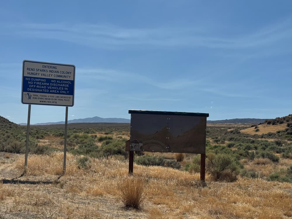
Evacuation route signage is posted throughout the area. In case of emergency follow the posted signs or contact Tribal Police at (775)785-9163. No OHV's allowed on Eagle Canyon Rd from Spanish Springs and there is no staging of trailers or large vehicles allowed on RSIC property.
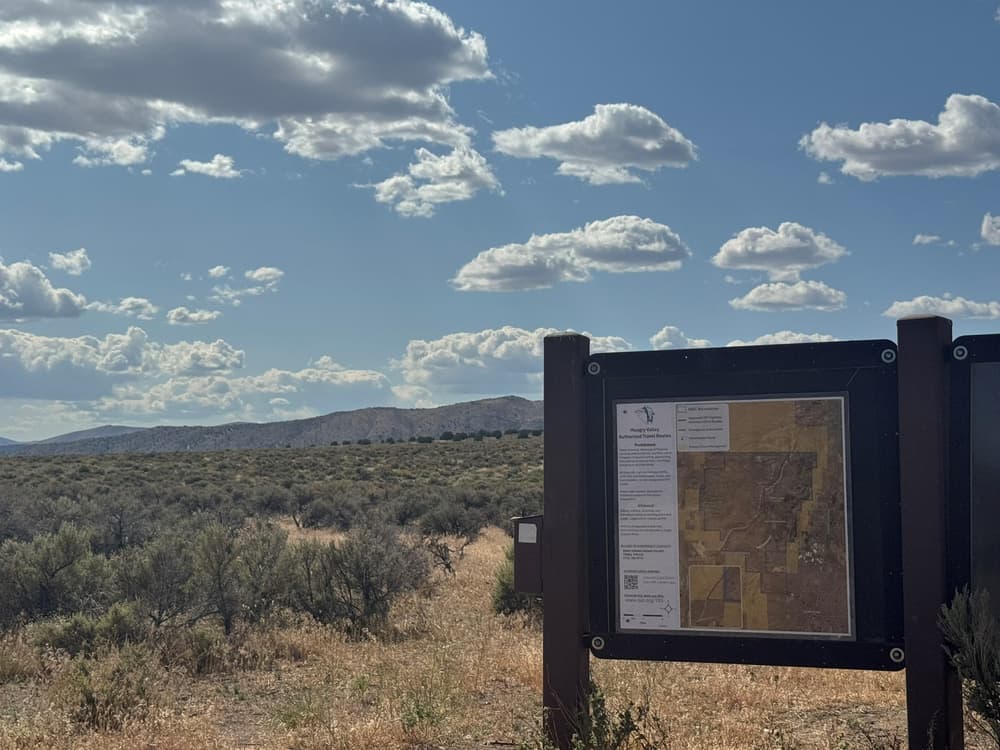
Keep all recreational activities to designated routes only. Visit the Reno Sparks Indian Colony Planning Website for updated information on recreating in Hungry Valley.
Prohibits target shooting, discharge of firearms, camping without permit, any fires, use of fireworks, treasure hunting, disturbance of cultural sites, and illegal dumping on all tribal lands.
For more information visit the Reno Sparks Indian Colony website or contact:
Reno Sparks Indian ColonyDownload map files for your own use.
Trailheads with information kiosks located in several locations. Informational kiosk maps located at each of the entrance points; Big Dog (North), Chickadee(South), Spanish Springs High, Eagle Canyon Rd & East/west OHV route and Argonaught (west-closed). Staging is recommended at the Kiosk locations or off-site at BLM lands. Evacuation route signage is posted throughout so in case of emergency follow the posted signs!
No staging of trailers or large vehicles is allowed on RSIC property.
Success! A new password has been emailed to you.