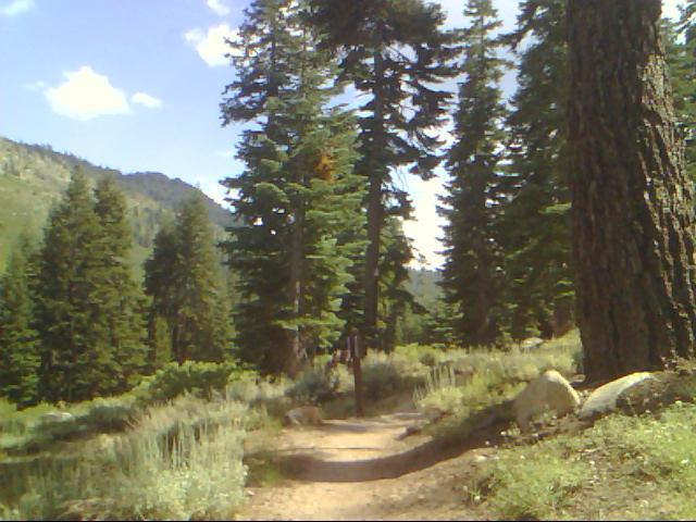
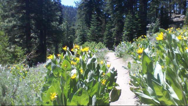
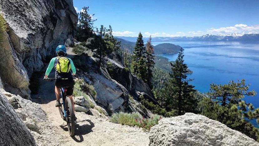
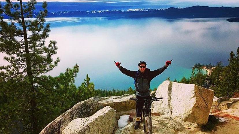
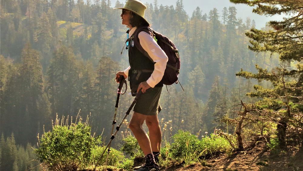
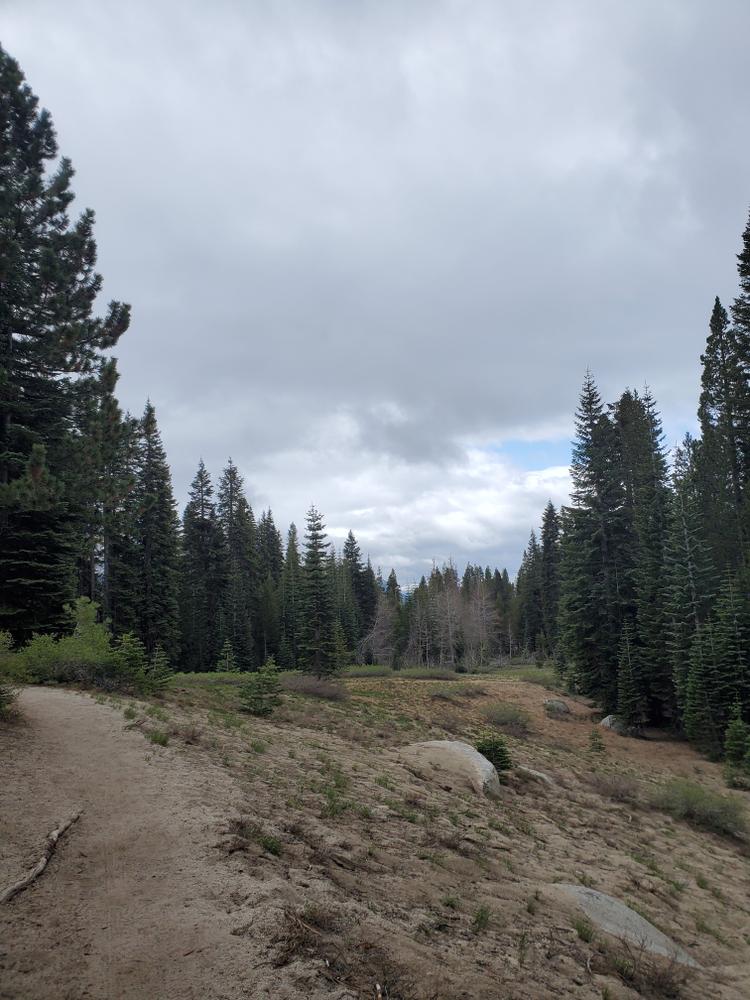
The primary entrance to the park is off of SR 28, just north of the intersection with Highway 50, at Spooner Lake. There are parking, picnic and restroom facilities,. Spooner Lake serves as the major trailhead and access to the North Canyon, Marlette and Hobart Lakes, and to the Tahoe Rim Trail. See the Spooner Lake webpage for more information on this easy, 2-mile leisurely stroll around the lake.. If you are looking for a longer or more challenging and strenuous there are several trailheads out of the parking area that lead to several larger trail networks. Popular mountain biking trails include the North Canyon Road trail to the Marlette Lake. This connects to the more difficult mountain biking trails in the backcountry such as the Flume Trail, , Tahoe Rim trail, and the Red House Flume trail.
Spooner Lake backcountry is comprised of over 120 miles of equestrian, hiking and mountain biking trails, including the access trails from the eastern side of the mountains. Various cabins are available to rent for overnight camping. Three primitive campsites are available throughout the backcountry: Marlette Peak, Hobart, and North Canyon. These campsites are equipped with picnic tables, bear boxes, a fire pit, and restrooms. Camping outside of these areas is not permitted.
Fishing is allowed in Spooner, Marlette and Hobart Lakes, with a Nevada fishing license. See the Nevada Division of Wildlife website for information and regulations.
The Nevada Division of Natural Heritage has put together a google earth tour of the history and ecology of the area. Be sure to download it for offline use to be fully immersed when visiting!
PARTIAL TRAIL CLOSURE IN EFFECT. PLEASE VIEW TRAIL ALERTS TAB FOR MORE INFORMATION.
TUNNEL CREEK REROUTE IS CURRENTLY UNDER CONSTRUCTION. IT WILL BE OPEN IN 2025.
Nevada State Parks has switched to a reservation system. Check the requirements for camping here!
View the complete Carson City West side trail system here.
For things to do in the Lake Tahoe area, see the Lake Tahoe Visitor Bureau website
For places to eat, shop, play and stay, see the Tahoe.com website..
TravelNevada’s website has more information on the Lake Tahoe Basin on the Nevada side of the lake.
Tahoe Rim Trail Association website for maps and information on one of the most spectacular trails in the world.
The State’s Nevada Tahoe Program is dedicated to protect the Tahoe environment and enhance recreational facilities in state lands.
For Equestrian specific information visit Nevada Horse Trails!
See the Nevada Department of Wildlife - NDOW Website for fishing and boating information
For information on all of the Nevada State Parks in the Lake Tahoe Basin area, see below:
![]()
Download map files for your own use.
The park entrance is off U.S State Highway 28, 17 minutes south of Incline Village. The side street for the parking lot is not marked with any signs so keep an eye out for a paved entrance on the north side of the highway.
From the intersection of I-580 and Highway 50 in South Carson City, take Highway 50 West for about 10 miles, and head north onto SR 28. The park entrance is less than 1 mile on the right.
Bear activity is high in this area. Keep (people) (pets) (property) safe. Keep bears wild. For more information on the BearWise campaign, visit the Recreate Responsibly page, or click on this link to learn how to be BearWise in the outdoors.
The following trails are closed until 2026:
View the official Nevada State Parks notice here. View the closure map here.
Success! A new password has been emailed to you.