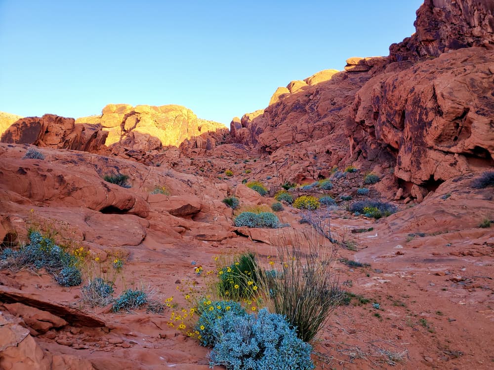
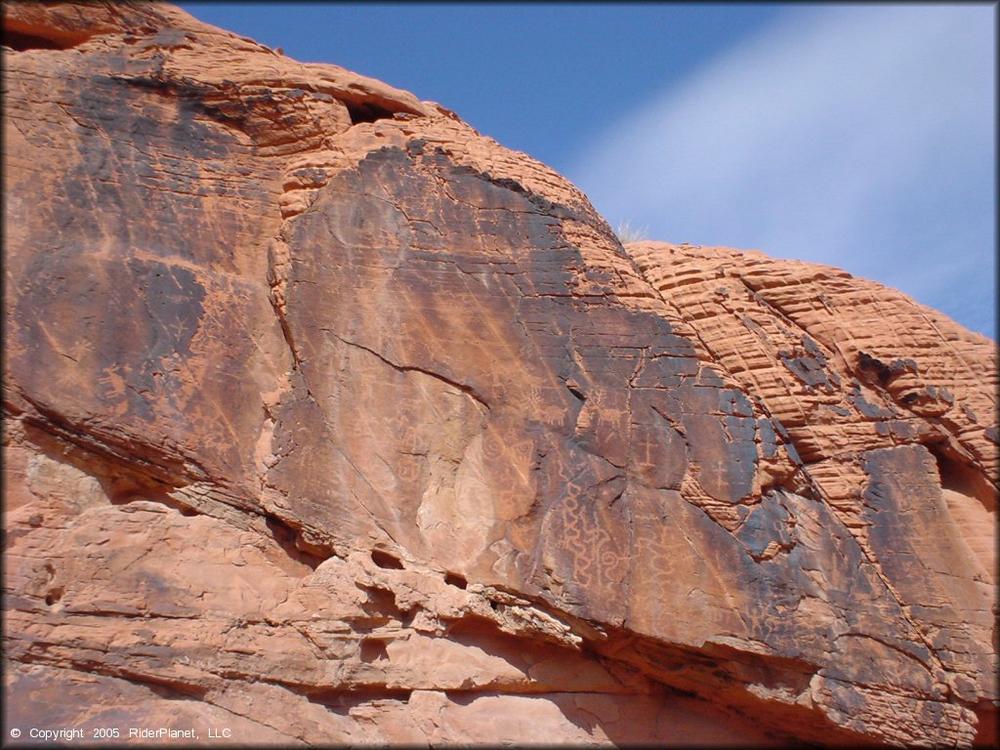
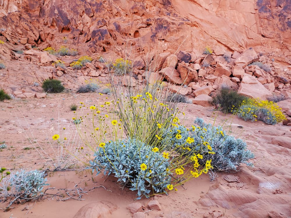
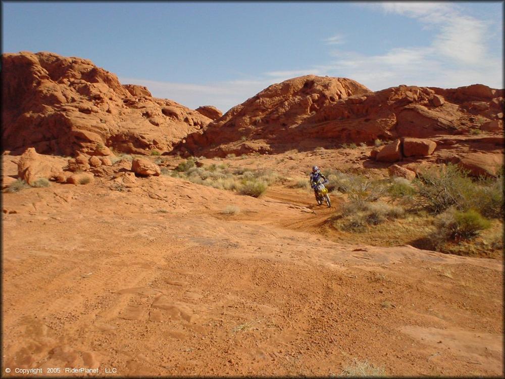
Get away from the crowds and see amazing geologic formations, rare plants and animals, along with petroglyphs left hundreds of years ago by the indigenous people of the area. This trail area reaches high temperatures in the summer, so the best time to visit is in the spring for the wild flower bloom or in the fall when the weather begins to cool. Trail surfaces are primarily sand, and may become impassible after heavy storms.
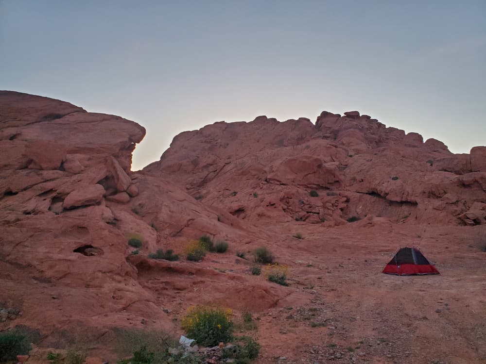
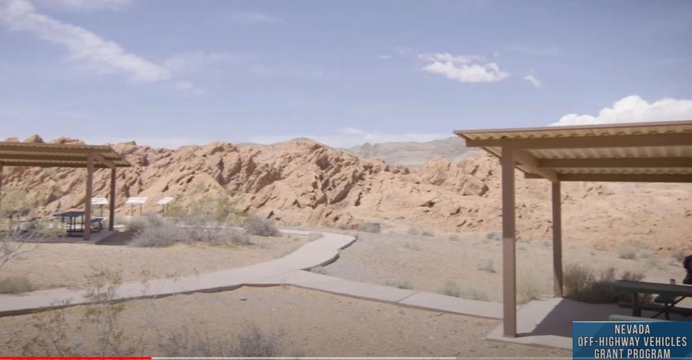
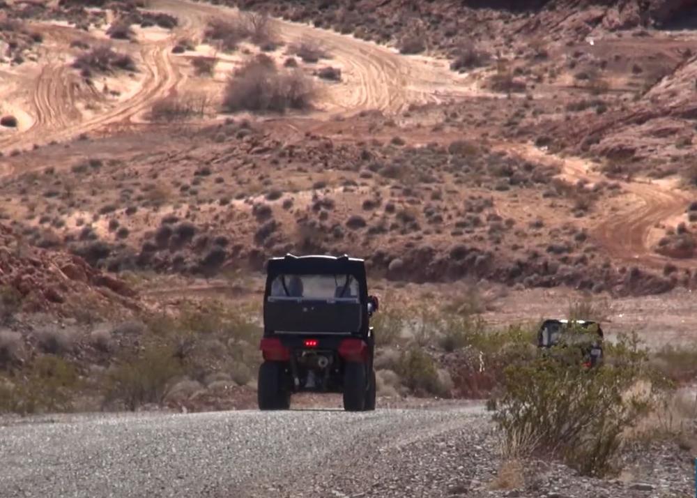
The Logandale trails system contains over 200 miles of trails, suitable for a variety of OHV types and rider experience levels, as well as hiking and horseback riding. Amenities at this system were funded in part by your Nevada OHV Registration dollars, and include restrooms, picnic areas, and dispersed camping sites.
Please enjoy the Logandale trail system by staying on existing trails and admiring resources without touching them. Practice responsible recreation by packing out what you packed in.
Animal Fun Fact!
This sandy desertscape is home to two of Nevada’s protected reptiles, Gila Monsters and Desert Tortoises. Both species have specialized adaptations to survive in the hot, dry climate. Gila monsters get most of their water from their prey, hide underground during the hottest parts of the day, and store fat in their thick tails which can allow them to survive for months without food. Desert tortoises can last for up to a year without drinking water by storing and reabsorbing water from a special bladder. To avoid disturbing these creatures and their habitat, please stay on established roads and trails.
Learn more about Logandale Trails with this informaitonal video!
See something? Say something! Visit Nevadans for Cultural Preservation to report damage to historical artifacts.
Join your local OHV or 4-Wheeler club to participate in local clean ups and events!
This is a culturally and environmentally sensitive area, watch for desert tortoises and do not take anything from the site.
Nearby services are located in Moapa Valley.
For equestrian specific information please visit Nevada Horse trails!
![]()
Download map files for your own use.
Success! A new password has been emailed to you.