Spring has sprung in Nevada! Discover the best places to view wildflowers here!

Nevada Backcountry Discovery Route

Roll through the sage brush seas, sandy meadows, pine forests and historic ghost towns on this backcountry discovery route! 
Trail Uses
Utv/jeep driving Atv riding Dirt biking
Location
Clark County, Elko County, Esmeralda County, Eureka County, Lander County, Nye County
Length
820.00 miles (Network)
Towns
Austin, Beatty, Cal-Nev-Ari, Elko, Goldfield, Goodsprings, Jarbidge, Jean, Laughlin, Pahrump, Primm, Sandy Valley, Searchlight, Tonopah
Surface
Dirt, Sand
Pets
Permitted
Fees
No
Wilderness Areas
Alta Toquima Wilderness Area, Death Valley Wilderness Area, Jarbridge Wilderness Area, Nopah Range Wilderness Area, Pahrump Valley Wilderness Area, Resting Spring Range Wilderness Area, Spirit Mountain Wilderness Area, Table Mountain Wilderness Area, Wee Thump Joshua Tree Wilderness Area
Wilderness Study Areas
Cedar Ridge Wilderness Study Area, Grapevine Mountains Wilderness Study Area, Queer Mountain Wilderness Study Area, Red Spring Wilderness Study Area, Roberts Mountain Wilderness Study Area, Rough Hills Wilderness Study Area, Simpson Park Wilderness Study Area
Other Activities
Hiking Mountain Biking E-biking Horseback Riding

Description

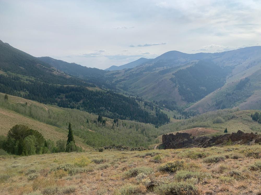
The Nevada Backcountry Discovery Route is one of 12 routes throughout the United States designed to highlight the best parts of the state. The majority of this trail is on back country roads with a few sections of highway driving as you hop from town to town. This route is not the only route that can be taken as Nevada is 65% BLM land, the route combinations are endless!

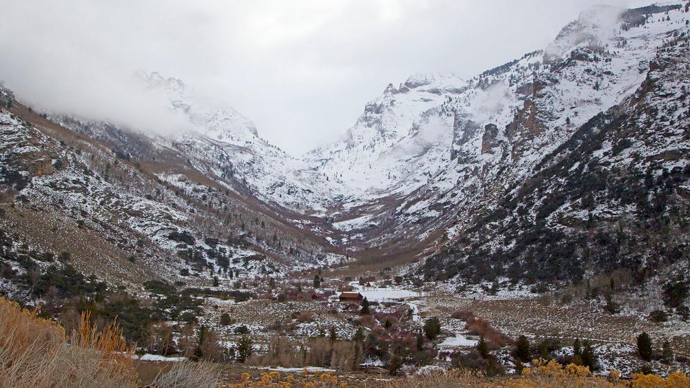
Expect the southern half of Nevada to be significantly more dry and hot than the northern portion. High winds and unexpected storms are common throughout the year. Some roads may be washed out and re-routing is necessary. Always keep a paper and digital map handy when traveling on back country roads!

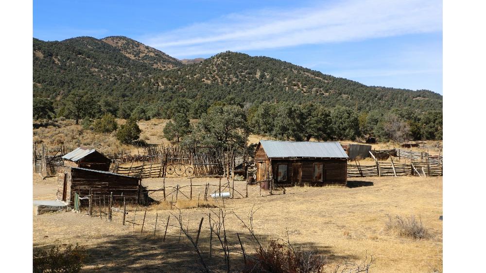
There are plenty of side adventures that can be taken along this trail such as visiting various state parks and staying in ghost towns!

Other Information

For detailed information stops along the way and updates on trail condition, visit the Backcountry Discovery Routes website. 

Primitive and dispersed camping is available across the entire route.

Popular locations such as Bullhead City, Pahrump, Tonopah, Austin and Elko have major lodging, and services available. 

Visit Travel Nevada's website to plan fun side adventures and get the most of your trip!

Please respect private property and stay on designated routes. There may be gates along the trail, be sure to close them once you have gone through. 

Section 6 of the trail through Jarbidge is seasonally closed and opens July 4th each year. 

This is a long and rugged path with long distances between towns and cities. Always be prepared for any sort of emergency by packing extra supplies and tools. 

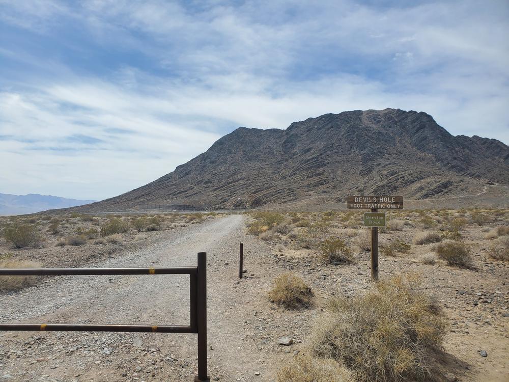
Given that portions of Nevada are designated wilderness, only hikers and equestrians are allowed within the wilderness boundary. Motorized and mechanized use is only permitted on surrounding non-wilderness trails. Please be respectful of the wilderness boundary and only travel on designated roads and trails for your activity type. Horses are allowed and only certified weed free hay can be brought in.

Trail Manager

For more information visit the BLM or US Forest Service website or contact: 

Bureau of Land Management - Elko District Office

Bureau of Land Management - Elko District Office
BLM Elko District Office
3900 Idaho Street
Elko, Nevada 89801
Phone: 775-753-0200
BLM_NV_ELDOwebmail@blm.gov
View website

Bureau of Land Management - Las Vegas Field Office

Bureau of Land Management - Las Vegas Field Office
4701 North Torrey Pines Drive
Las Vegas, Nevada 89130
Phone: (702) 515-5000
blm_nv_sndo_web_mail@blm.gov
View website

Bureau of Land Management - Tonopah Field Office

Bureau of Land Management - Tonopah Field Office
1553 South Main Street
Tonopah, Nevada 89049
Phone: 775-482-7800
BLM_NV_BMDOwebmail@blm.gov
View website

U.S Forest Service - Mountain City - Ruby Mountains - Jarbidge District

U.S Forest Service - Mountain City - Ruby Mountains - Jarbidge District
Elko:
660 South 12th St. Elko, NV. 89801
Suite 108
Ruby Mountains:

Wells:
140 Pacific Ave. Wells, NV. 89835
P.O. Box 246

Phone: Elko: 775-738-5171 Wells:775-752-3357
View website

U.S Forest Service -Humboldt-Toiyabe National Forest - Spring Mountain NRA

U.S Forest Service -Humboldt-Toiyabe National Forest - Spring Mountain NRA
4701 North Torrey Pines Dr
Las Vegas, Nevada 89130
Phone: (702) 515-5400
View website

Download

Download map files for your own use.

Working with Downloaded Files

Recreate Responsibly

Be Considerate of Other Visitors
Yield to pedestrians on multi-use trails. Warn others that you are passing from behind with a friendly "Excuse me" and a smile.
Legend
|
Hide All

Trailhead Information

The trail has several access points and can be started or ended at any point along the route. The most common place for people to begin is in Oatman, Arizona and end near Jarbidge, Nevada. 

Click on a parking icon to get custom directions
Please Log In or Create Account to add comments.
SHARE THIS TRAIL
PRINT THIS TRAIL

Add Trail Log

Please wait…
Facebook Instagram Twitter YouTube
Join In on the Fun!
Log in or create an account below to unlock all the great features of Nevada Trail Finder: keep track of trails you want to do, preserve memories of trails you’ve done, earn badges, and more!
Your log in attempt was not successful. Please try again.
    Lost your password? Reset your password
    Don't yet have an account?
    There was an issue with your submission. Please try again.
      * Indicates required field
      Already have an account? Login here
      Enter your username, and we will send you a new, randomly generated password to your email account.
      There was an issue with your submission. Please try again.

        Success! A new password has been emailed to you.

        Log in now

        Please wait…