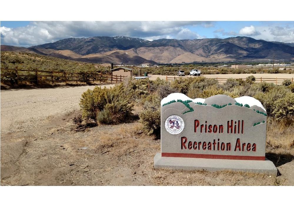
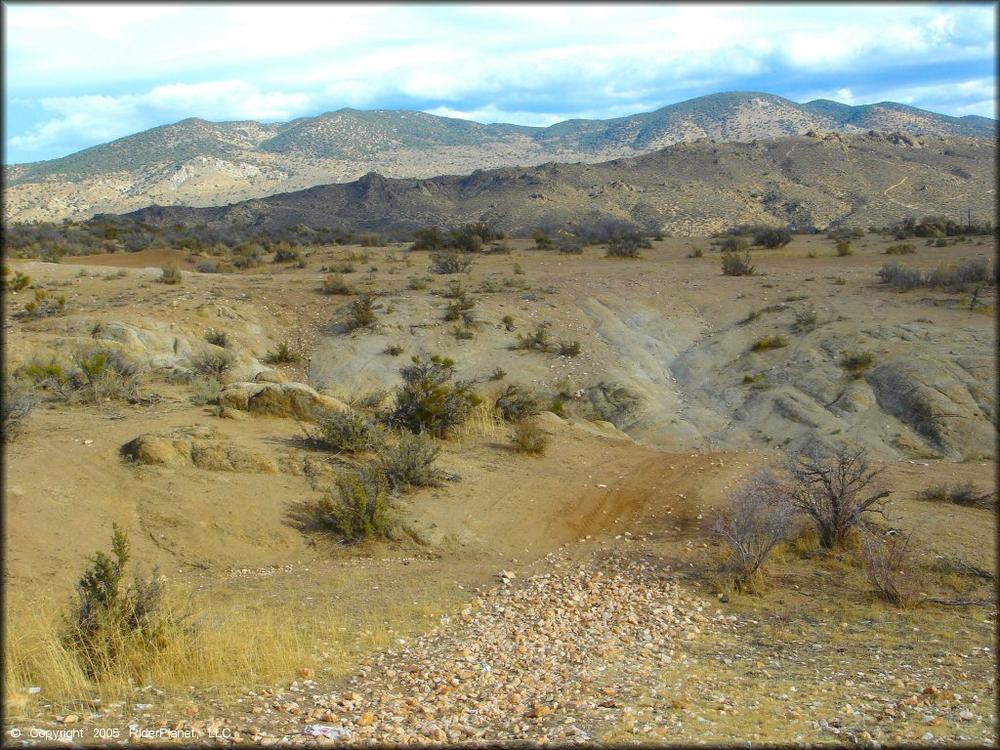
Prison Hill is a popular mixed-use recreation area within Carson City. While the north portion of the hill is open to non-motorized recreation (hiking, mountain biking, equestrian, etc.), the southern portion of the hill is now open for OHV use! The motorized area has recently been updated by the Open Space Division of the Carson City Parks, Recreation & Open Space Department, working with the National Off-Highway Vehicle Conservation Council (NOHVCC), various funding partners such as the Recreational Trails Program (Nevada State Parks), the Off-Highway Vehicle Program, and many other project partners and volunteers!
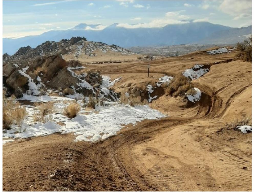
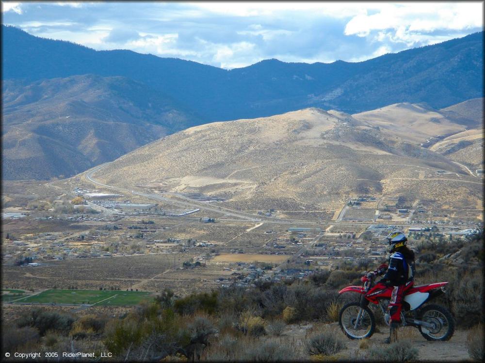
The trail system contains plenty of recreation opportunities for users with a variety of skill levels and trail types. There are dirt trails for UTVs and ATVs, rock crawling areas, sand training areas, single-track routes, and extreme and highly-technical Jeep trails! Be respectful to other trail users and be sure to follow posted trail signs and routes, especially near OHV area boundaries. All trails are two-ways so be aware while riding. Check out the PDF map of trails (link is included in Data Download section of this posting), which includes two suggested routes to try out - the Toad Rock Loop and the Summit Loop!
Information on the trail difficulty system from Carson City Parks and Recreation:
"Some trails are named, and some are numbered. Both named and numbered trails have a prefix indicating the use intended/allowed on that trail."
Prefixes are:
Difficulty will be indicated by the standard decals:
For numbered trails, difficulty will also be indicated by the first number in the sequence:
The area is open dawn-to-dusk, year-round, and is free to the public. Keep in mind that there is no camping or fires allowed within the recreation boundaries. There is a main staging area at the south end of the OHV area, for loading and unloading. There is also a restroom located within the staging area.
For more information regarding the Prison Hill Recreation Areas visit the Carson City website: Prison Hill Recreation Area - Motorized Portion. There you will find plenty of detailed information on the recent trail improvement projects, rules, and route descriptions.
Also be sure to check out Off-Road Nevada for more information on The Dirt!
Motor vehicles are permitted on designated trails only. For local regulations regarding OHV use on county roads, visit the Carson City Parks and Recreation Website. Always plan ahead and prepare for uncertainty. Travel with warm clothing, first aid, food, water and appropriate tools to fix a problem. Traveling in groups is always a good idea, as well as informing someone of where you will be going.
During the summer months the area is closed when Red Flag Warnings are in place. Red Flag Warnings are issued by the National Weather Service when atmospheric conditions create extremely high fire danger.
For more information on Prison Hill OHV Area visit the website, or contact:

Download map files for your own use.
From South Carson Street in Carson City, follow Snyder Avenue East for 2.5 miles. Turn right at the intersection with Gentry way, and continue 0.9 miles to the staging area. Directional signage will bring visitors to the main trail head.
Bear activity is high in this area. Keep (people) (pets) (property) safe. Keep bears wild. For more information on the BearWise campaign, visit the Recreate Responsibly page, or click on this link to learn how to be BearWise in the outdoors.
Success! A new password has been emailed to you.