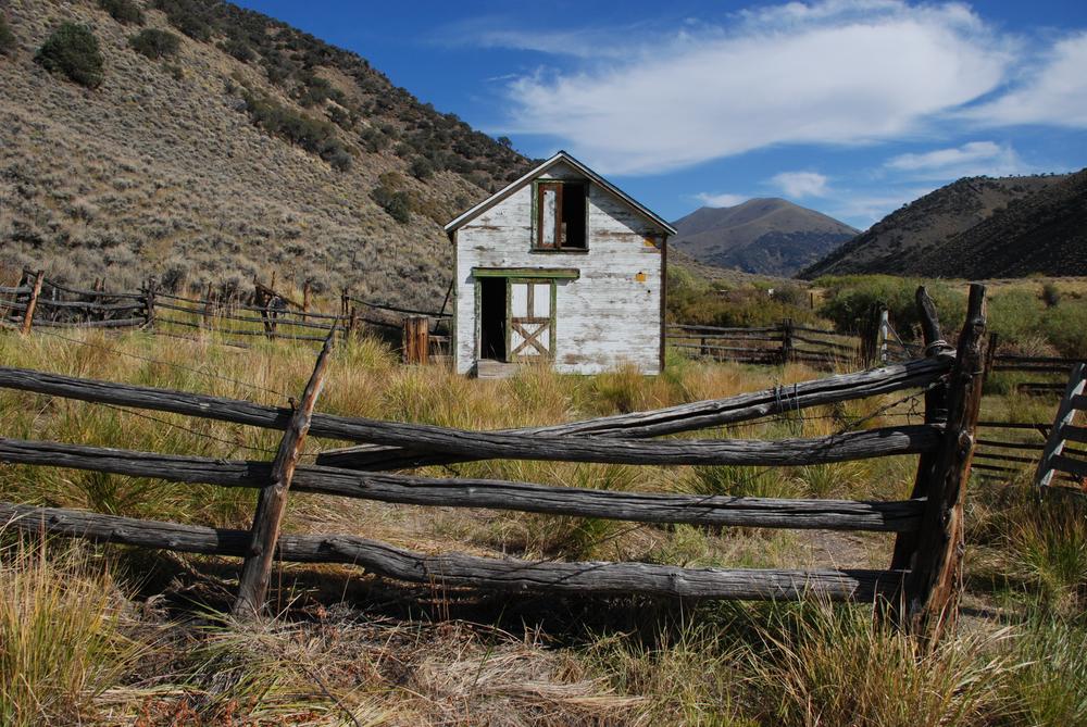
The Toiyabe Crest National Recreation trail (TCT) is a beautiful 62 mile trail suitable for experienced backpackers and mountain bikers (north of Ophir Pass) due to its ruggedness. The elevation begins around 6,345' and reaches its peak at 11,775'. Starting at the north end of the trail and heading south, the trail can be accessed at the Kingston Canyon trailhead and starting at the southern end the trail can be accessed via the South Twin River trail. For mountain bikers, the southern end for legal access is Ophir Pass. Parking is available at both the north and south trailheads. The best time to hike or ride this trail is from mid-June to early October. Snow typically melts out by early June, and despite the weather being generally good, afternoon summertime thunderstorms are always a possibility.
This trail can be hiked in as long as 7 days but the time you would like to take is up to you. There are several connecting trails once you get into the Arc Dome wilderness to make your adventure as long or as short as you would like. There are also several connecting trails north of the Wilderness boundary, particularly Washington and South San Juan Creek trail that offer excellent loop options. For mountain bikers wanting to ride either a loop or point to point, south to north is the recommended direction.
Environmental Fun Facts!
Scree fields and rocky peaks you’ll pass along this trail are home to American Pika, a small, alpine mammal with brown fur, round ears, and no tails. Although they look like rodents, they’re actually related to rabbits. When walking through these areas, listen closely and you may hear “eep!” as they communicate with each other.
The recommended route starting from the North -
Day 1: Kingston trailhead to Washington Creek
Day 2: Washington Creek to South San Juan Creek
Day 3: South San Juan Creek to Marysville Canyon
Day 4: Marysville Canyon to Ophir Pass
Day 5: Peak 10,375 to Reese River
Day 6: Reese River to South Twin Tributary
Day 7: South Twin Tributary to south twin River trailhead.
For an in depth look at the history of the Toiyabe Crest National Recreation Trail watch this short video from PBS Reno!
Click here to read more about the Toiyabe Crest Revitalization project!
Motorized travel and mountain biking is not permitted within the Arc Dome Wilderness area.
Cell phone service is very spotty throughout the range. Be sure to be prepared and notify people of your travels ahead of time. An emergency satellite beacon is highly recommended.
Portions of the trail are unmaintained and require keen navigational skills and some bushwhacking to stay on trail. Some segments may be harder to mountain bike than others and will require you to walk your bike.
Given that portions of the Toiyabe Mountain Range are designated wilderness, only hikers and equestrians are allowed within the wilderness boundary. Motorized and mechanized use is only permitted on surrounding non-wilderness trails. Please be respectful of the wilderness boundary and only travel on designated roads and trails for your activity type. Horses are allowed and only certified weed free hay can be brought in. Currently, USDA Forest Service policy considers E-Bikes to be motorized vehicles, and therefore, are restricted to roads and trails designated for motorized use.
The Bureau of Land Management has not completed Travel and Transportation planning for this area. The undesignated roads and trails shown on this map are informational only and are subject to change. This map implies no right of access across any private lands displayed on this map. Please follow Responsible Recreation guidelines and stay on existing roads and trails.
For additional information visit the U.S Forest Service website or contact:

Download map files for your own use.
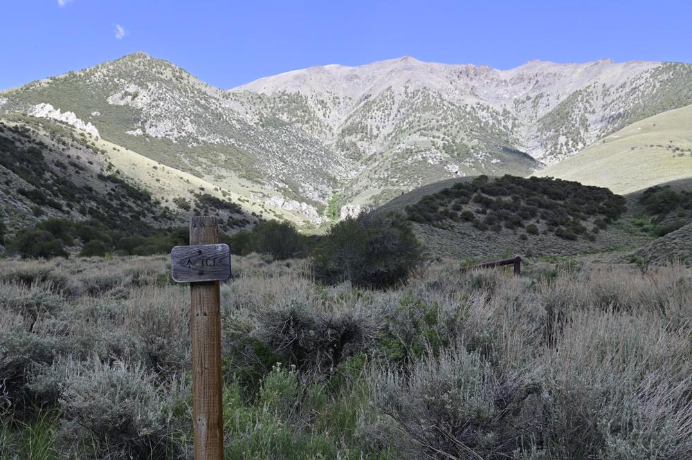
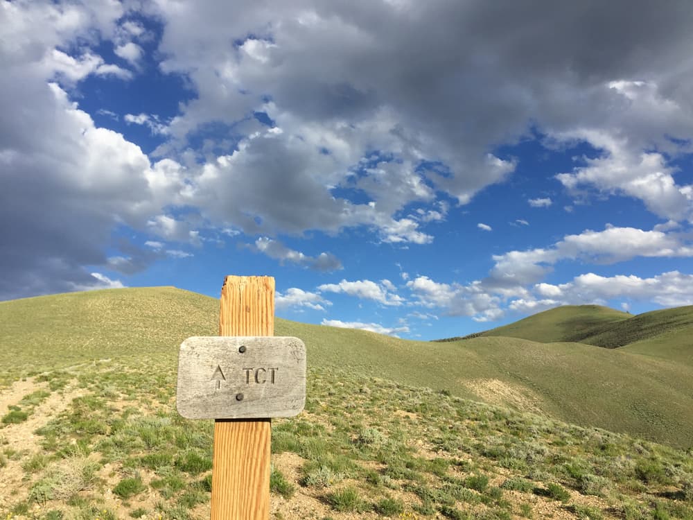
The Toiyabe Crest National Recreation Trail can be accessed through several trailhead points.
From the north, the trailhead is located near Groves Lake and Groves Lake campground on Kingston Canyon Rd. From the south end, the trail can be accessed vis South Twin Forks trailhead. Parking is available at both trailheads. A 4WD, High-Clearance vehicle is recommended when attempting to accesses this trail via the connecting trails. If you are accessing the trail from the Kingston Canyon trailhead or the South Twin River trailhead a passenger car vehicle will be able to traverse these roads.
Several spur trails also allow access to the trail; Washington Creek Trailhead, Marysville Trailhead, Columbine trailhead and campground, North/South Twin trailheads.
Success! A new password has been emailed to you.