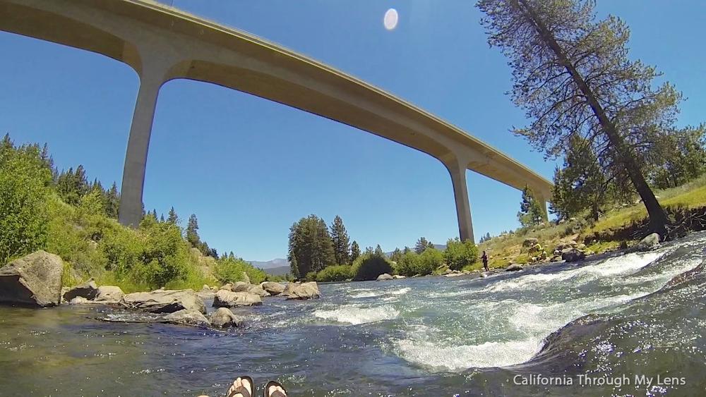
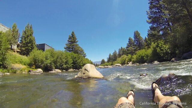
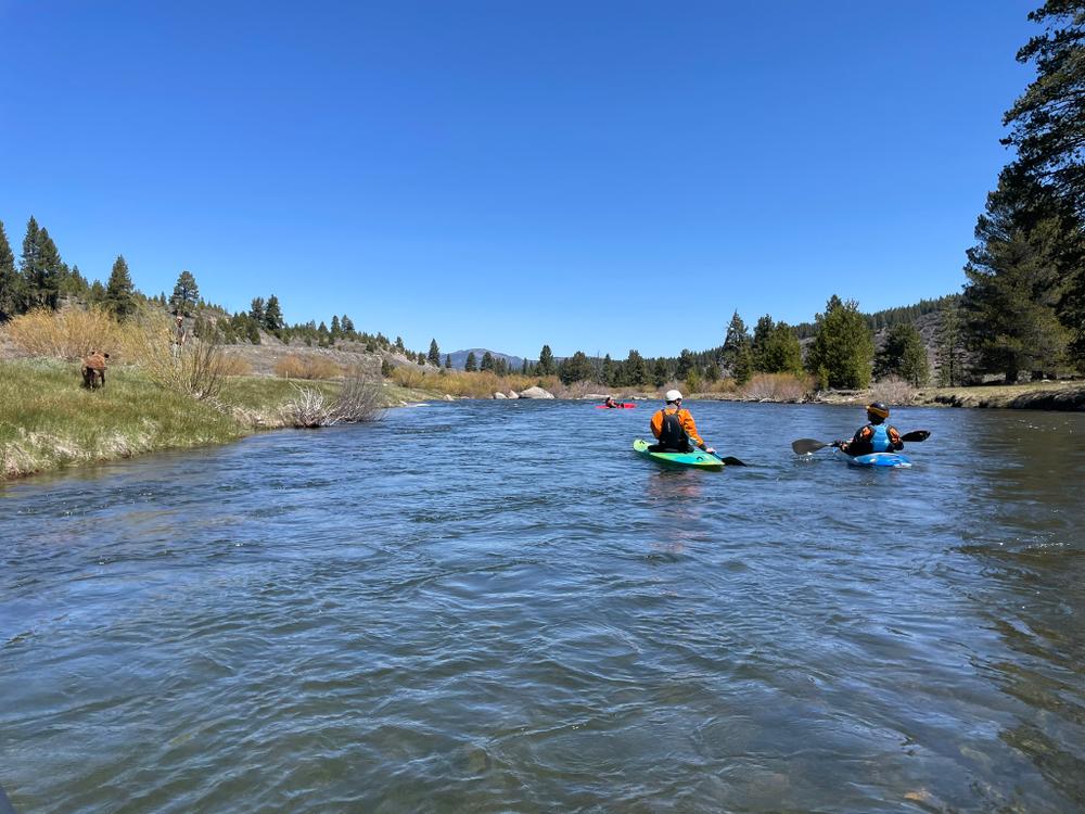
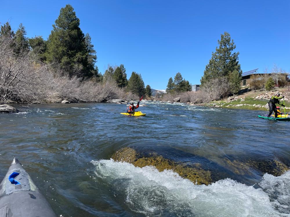
The Donner Creek Inflow to Glenshire Bridge segment is primarily Class 2-3+ with the Truckee Falls and some other harder and longer rapids towards the end.
Truckee's flow is highly regulated, with most river flow fully allocated through a system of water rights, set by the Truckee River Operating Agreement. Water levels on the Truckee River widely vary by season and the river is navigable depending on the flow rates and your experience level. Make sure to assess water levels before your trip.
View the daily streamflow conditions on the USGS Waterdata website, or use the links below for specific gauge sites along the river.
For area visitors information, see the Visit Truckee-Tahoe website.
See the Town of Truckee website for places to stay, eat and recreate.
Visit the Tahoe.com and the Lake Tahoe Visitors Authority websites for information on Tahoe City and the West Shore of Lake Tahoe
See the Truckee Meadows Water Authority website, for recreation and river management information.
Visit the TravelNevada website for information on the Nevada portion of the Truckee River.
For beautiful photos of places to visit in California, visit the CaliforniaThroughMyLens.com website.
For additional information, visit the Tahoe National Forest, Truckee Ranger District website, or visit:
US Federal Water MasterDownload map files for your own use.
Put-in at the Donner Creek inflow on W. River Street in Truckee. Parking is available along the road.
Mid-segment, there is a parking and access point at the Glenshire Bridge.
Take-out access and parking are on Stampede Meadows Rd. across the bridge on the north side of the river.
In the Spring runoff months, water may be very fast and high. Paddlers should use caution and plan accordingly.
Bear activity is high in this area. Keep (people) (pets) (property) safe. Keep bears wild. For more information on the BearWise campaign, visit the Recreate Responsibly page, or click on this link to learn how to be BearWise in the outdoors.
Success! A new password has been emailed to you.