Basin and Range National Monument was created by Presidential Proclamation on July 10, 2015 and covers 704,000 acres in Lincoln and Nye Counties. The area is one of the best examples of the spectacular basins framed by rugged mountain ranges of Nevada, and includes historic Native American petroglyphs and artifacts, unique plants and animals, and opportunities to enjoy space and solitude.
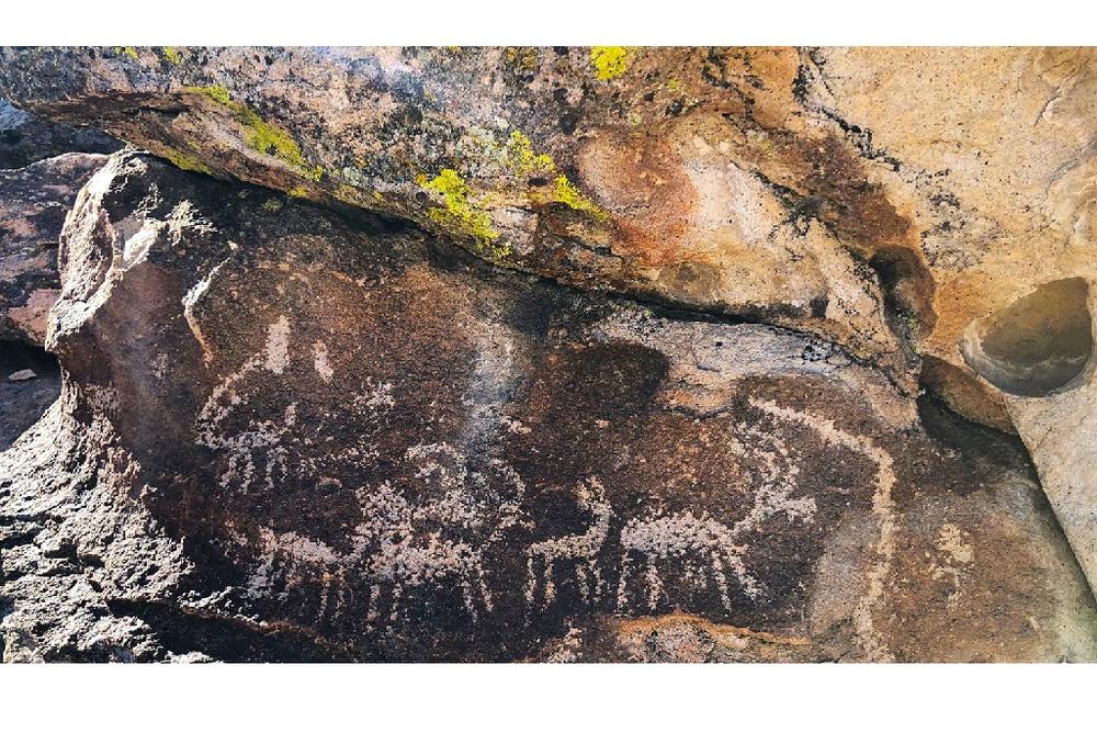
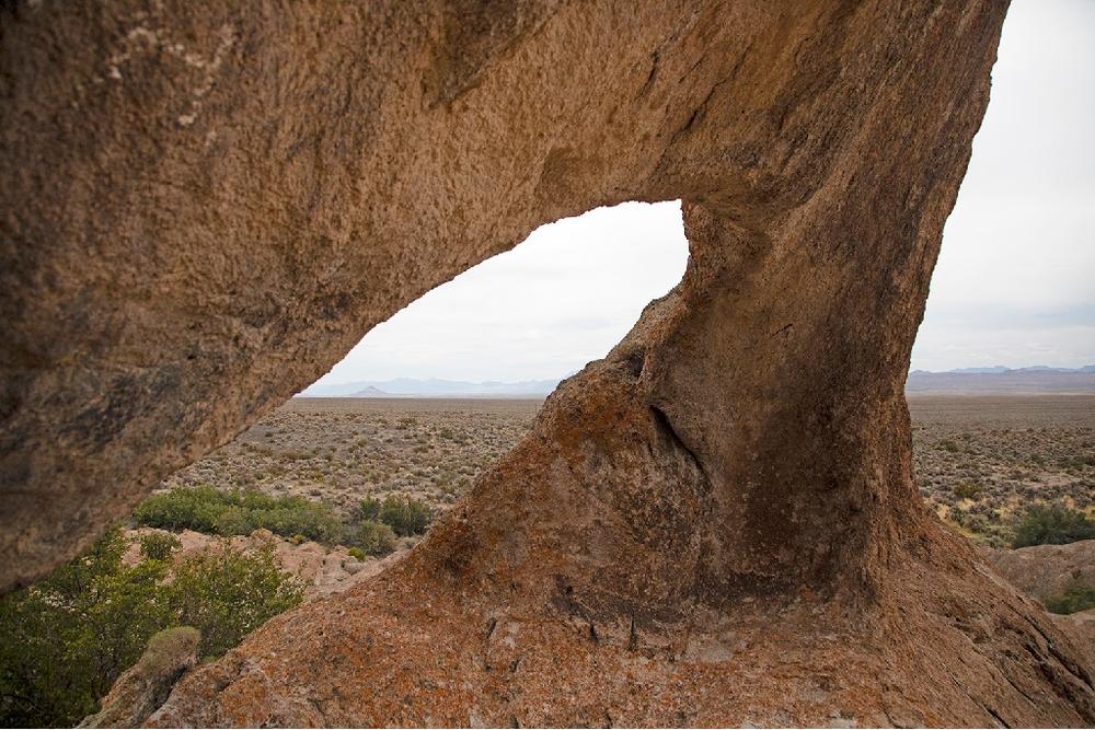
The area is located between the Mojave Desert and the Sagebrush Steppe of the Great Basin. There are many different kinds of attractions in the monument, appealing to a diverse range of visitors. Major natural attractions include Garden Valley, Coal Valley, the Worthington Mountains, Mt. Irish, and many other ranges. There are also a variety of Native American sites, such as White River Narrows Petroglyph Site and Mt. Irish Petroglyph Site. An interesting Native American site is the Shooting Gallery, a hunting site in a separate parcel of the monument. More recent human activity includes mining, ranching, and prospecting, which has resulted in a number of ghost towns and abandoned mines scattered across the monument.
Always respect abandoned buildings, and always stay out of abandoned mines. Some of these traces of human activity include Crescent Mill, the ruins of a massive silver smelter, now little more than crumbling walls and a looming brick chimney. A popular ghost town to visit is Logan City, which consists of a large decaying ranch surrounded by the ruins of scores of foundations, which are all that is left of what was once a booming mining town. Freiburg was an extremely active mine site, with many scattered mine entrances and ruined shacks.
There are many more small sites, particularly around Mt. Irish. If you would like to see some more recent human activity, check out one of the many attractions along the Extraterrestrial Highway, such as the Little A'le'Inn, an alien-themed bar, restaurant, and inn. Towns like Hiko, Rachel, Crystal Springs, and Ash Springs offer few services, but historical markers inform visitors about the recent human history of these areas. A unique example of recent human history in the monument is Michael Heizer’s “City”, a massive piece of earth art, which recently opened for the public to visit.
The Basin and Range National Monument is located between five wilderness areas; Grant Range Wilderness, Quinn Canyon Wilderness, Mt. Irish Wilderness, Worthington Mountains Wilderness and the Weepah Spring Wilderness. Only non-mechanized and non-motorized activities are allowed within the wilderness boundaries.
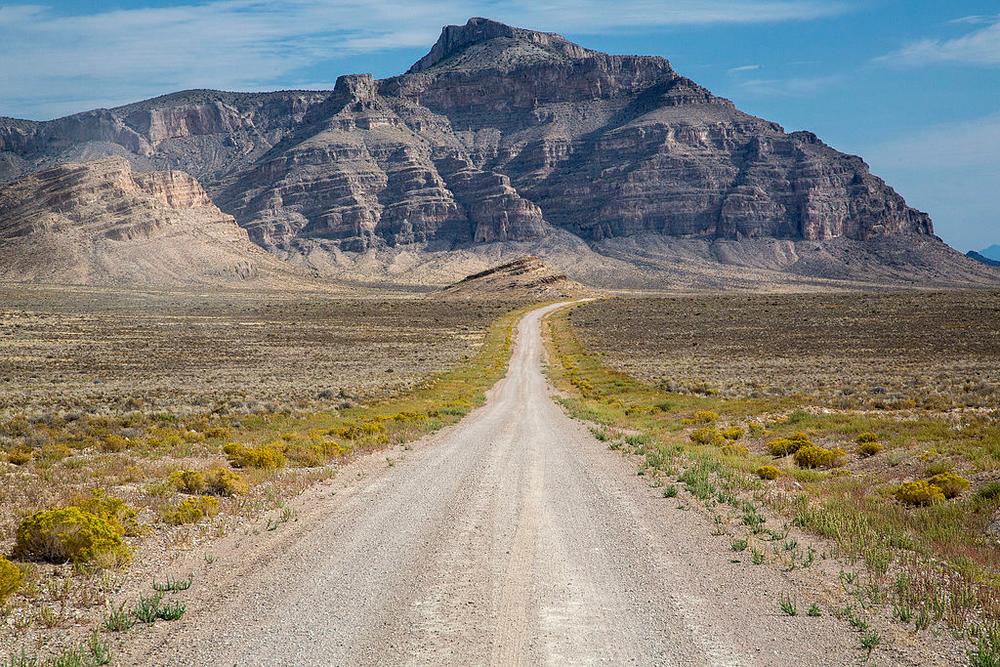
The Monument allows motor vehicle use on existing roads. Some roadways are passable by passenger vehicles, but high-clearance, 4-wheel drive vehicles are recommended due to rugged and changing conditions on many routes. There is no entrance fee to access the Monument lands, and dispersed camping is allowed for a maximum 14-day stay. See maps for unimproved campsite locations.
This is a very remote area of Nevada. Always travel with an emergency kit consisting of extra food, water, gas and a spare tire. Cell phone service is sparse.
Visit Lincoln Counties website to learn more about lodging and other activities nearby.
Do not touch or take any artifacts from any archeological sites you may come across. Please report damage to archeological sites here!
Given that the Basin and Range National Monument is surrounded by designated wilderness, only hikers and equestrians are allowed within the wilderness boundary. Motorized and mechanized use is only permitted on surrounding non-wilderness trails. Please be respectful of the wilderness boundary and only travel on designated roads and trails for your activity type. Horses are allowed and only certified weed free hay can be brought in. Currently, USDA Forest Service policy considers E-Bikes to be motorized vehicles, and therefore, are restricted to roads and trails designated for motorized use.
For more information visit the BLM website or contact:
![]()
![]()
Download map files for your own use.
Located just 2 hours north of Las Vegas. Trails can be accessed via State Route 375, State Route 318 and U.S.-6.
Most roads require a high clearance, 4 WD vehicle.
This trail passes by an important historical or cultural area. Please respect the area and future visitors by looking rather than touching.
Success! A new password has been emailed to you.