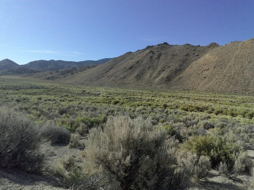
This rugged and remote area is teaming with wildlife and unique rock outcroppings. Several small creeks and waterfalls are scattered throughout the mountain range. At its highest elevation of around 10,000 ft., the mountains are covered in Pinyons, Junipers, Aspens and Bristlecone pines. Various wildlife included Big Horn Sheep, Mule Deer, Sparrows and the Ash-throated Flycatcher. Bobcats and mountain lions are also present and active throughout this area.
Trails climb from basin sagebrush through aspen groves and into high elevation environments. The range contains numerous opportunities for primitive camping, hunting and other outdoor recreation. There are a number of historic mining and sheepherding sites and settlements in these mountains. Go prepared, and feel free to stage and camp out of the nearby Basin and Range National Monument.
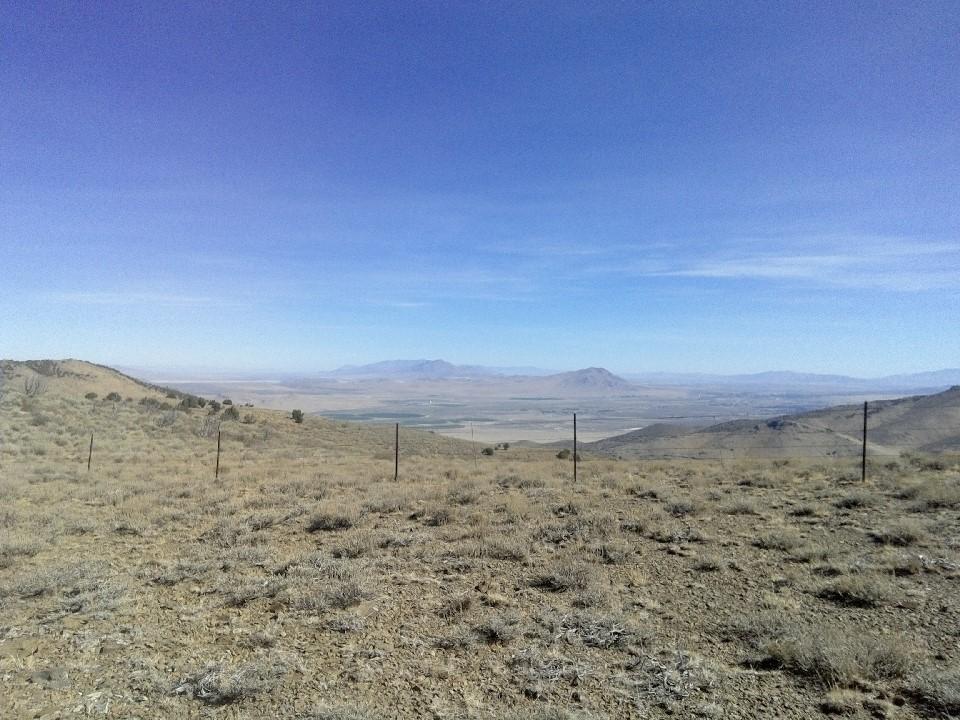
Rides in the Quinn Canyon Mountain Range are varied, and can be extended into nearby Basin and Range National Monument for any length of visit. During the fall and winter, road conditions can become slick and muddy, and deep snow and ice are possible. Seasonal creeks can erupt into flash floods during summer downpours making roads unstable and rutted. Remember to check the weather before planning a visit and always recreate responsibly.
This OHV-accessible road system in Nye and Lincoln Counties covers several mountain ranges stretching North to South. This trail system is generally multi-use and caters to OHV, Equestrian, Mountain bike, and Pedestrian activities, so riders should be prepared to meet a variety of trail users on their rides. The numerous trails in the area can take riders through a variety of terrain along existing two-track roads. Most trails in the area are suitable for a full size four-wheel drive vehicle. Expect OHV users to encounter exposed rocky trails, stream crossings, and significant elevation change.
Given that a portion of the Quinn Canyon Mountain Range is a designated wilderness area, only hikers and equestrians are allowed with the wilderness boundary. Motorized and mechanized use is only permitted on surrounding non-wilderness trails. Please be respectful of the wilderness boundary and only travel on designated roads and trails for your activity type. Horses are allowed and only certified weed free hay can be brought in. Currently, USDA Forest Service policy considers E-Bikes to be motorized vehicles, and therefore, are restricted to roads and trails designated for motorized use.
The Bureau of Land Management has not completed Travel and Transportation planning for this area. The undesignated roads and trails shown on this map are informational only and are subject to change. This map implies no right of access across any private lands displayed on this map. Please follow Responsible Recreation guidelines and stay on existing roads and trails.
Trails are old forest service roads and are not maintained. Some may be in very poor condition and become washed out after heavy rain.
Given the remote location of this wilderness area, cell phone service and other amenities may not be available. Always plan for an emergency and let others know of your plan. A satellite phone is highly recommended for emergency use.
Closest services and amenities are in Ely (3 hr 36 min) and Tonopah (2 hrs 34 min).
For additional information visit the U.S Forest Service website or contact:
Download map files for your own use.
Located 120 miles south west of Ely Nevada. Trails are accessible via HWY 6, HWY 375 or HWY 318. Roads may be unmaintained. A 4WD, high-clearance vehicle is recommended.
Success! A new password has been emailed to you.