NEW FEATURE ALERTNow introducing Trailside Services! Add to your adventure by visiting some of Nevada's best local businesses.
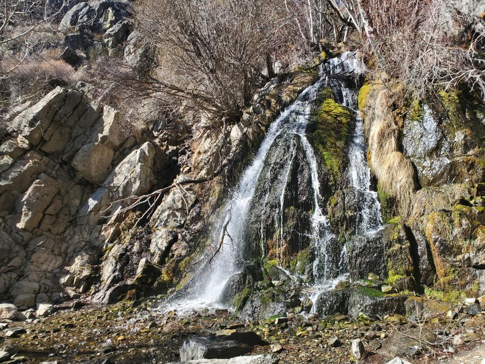
These trails are typically available spring, summer, and fall, but are normally snow-covered in the winter. The views are incredible, spring creeks and wildflowers are amazing, and some shade is available.
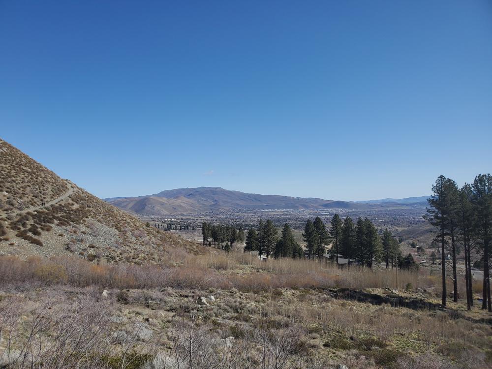
The Carson Range on the west side of Carson City offers many miles of singletrack trails, perfect for hiking and mountain biking. Here are a few of them.
There are two nationally recognized trails in this area – the Capital to Tahoe Trail and the Ash to Kings Trail. These trails, together with the Lincoln Bypass Trail, complete a connection to the Tahoe Rim Trail, and then to the Pacific Crest Trail, thereby making it possible for someone to walk from Carson City to Canada or Mexico, all on singletrack!
Bob’s Trail is a local favorite, named for former Carson City Mayor Robert “Bob” Crowell who was an advocate for trails and open space
Ecological Fun Fact!
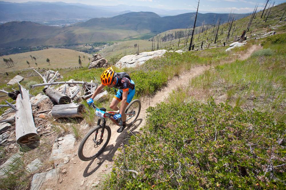
In 2004, a rogue campfire started a fire that burned much of the area around the Ash and Kings Canyon Trails. Today, there are not as many large pines in the lower portions of the trail as there once were, but you can see nature recovering in real time through a process called “ecological succession”. Ecological succession is a cycle of plant growth after disturbances, like fire, where first primary succession species like mosses and grasses fill in the barren area within a few years of the fire, followed by shrubs, and eventually trees. Although some fire is natural, do your part to be fire safe: follow the local fire rules, never leave a campfire unattended, report any uncontrolled fires, and never park on flammable material like dry grass.
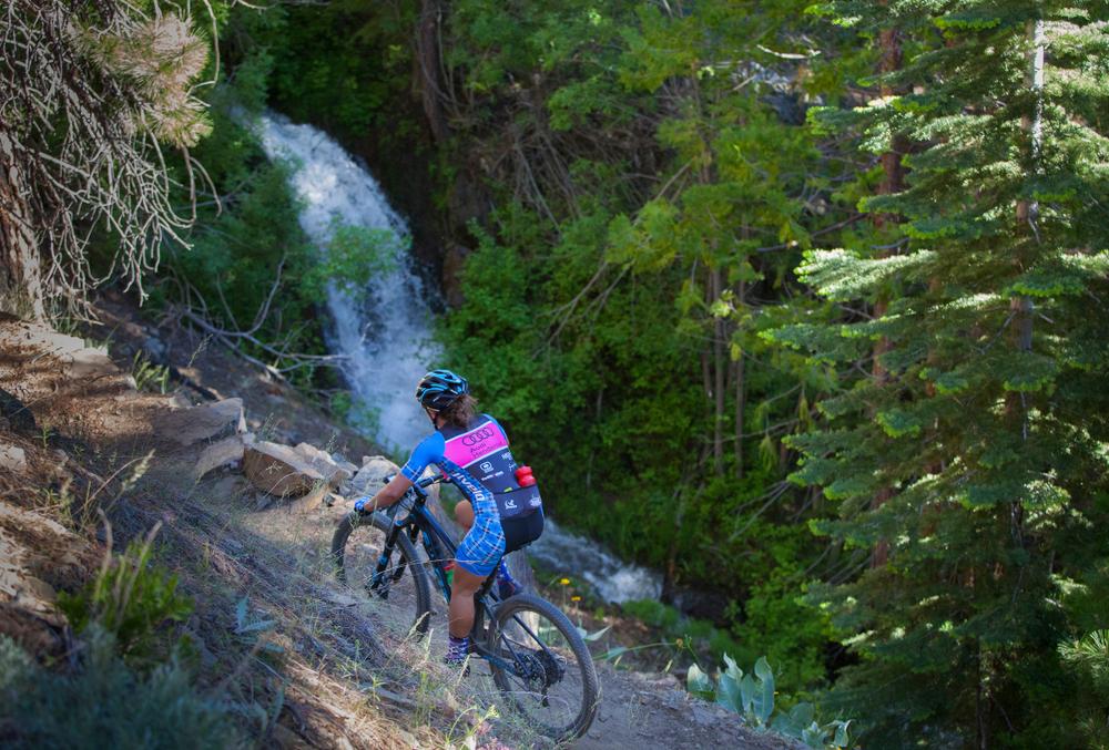
Use caution when using the trails; there are lots of rocks and the trails can become narrow at time. Use extra caution on King's Canyon Road, on which motorized vehicles are allowed.
Learn more about Carson City on their website.
View the complete Carson City West side trail system here.
Motor vehicles with high-clearance and 4x4 are permitted on the Ash Canyon Road and the historic Kings Canyon Road. Caution – these are narrow roads with few turnouts and steep drop-offs. Ash Canyon Road is closed one mile above the water tanks in winter.
This trail system was established with the help of Muscle Powered and The Great Basin Institute.
Note – Horses, dogs, and bicycles are not permitted on the Waterfall Trail or the North Kings Loop for safety and for protection of Carson City’s drinking water.
For additional information, visit the Carson City Parks, Recreation, and Open Spaces website, or contact:

Download map files for your own use.
These trails can be accessed several ways:
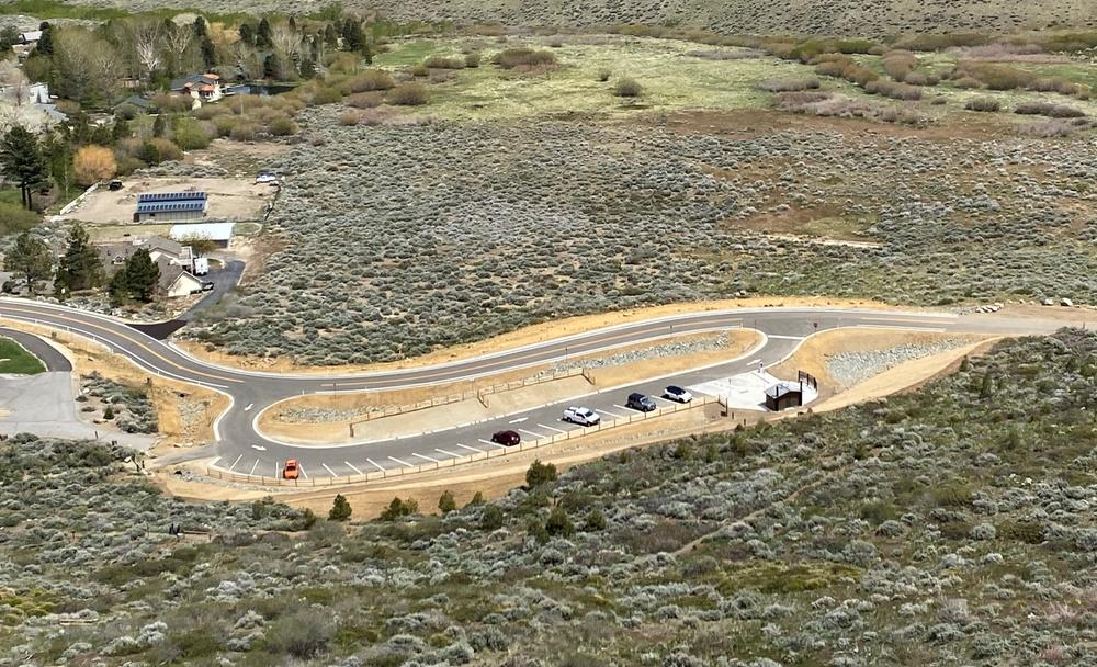
Kings Canyon TH, 4450 Kings Canyon Road. Restroom, ample paved parking, and kiosk with maps.
Foothill Drive TH, 2190 Foothill Road. Kiosk with map, no other amenities.
Ash Canyon TH, 3490 Ash Canyon Road. Limited parking near the “square pond” just past the water tanks. No amenities. A formal trailhead is planned for 2027 or 2028.
Bear activity is high in this area. Keep (people) (pets) (property) safe. Keep bears wild. For more information on the BearWise campaign, visit the Recreate Responsibly page, or click on this link to learn how to be BearWise in the outdoors.
Success! A new password has been emailed to you.