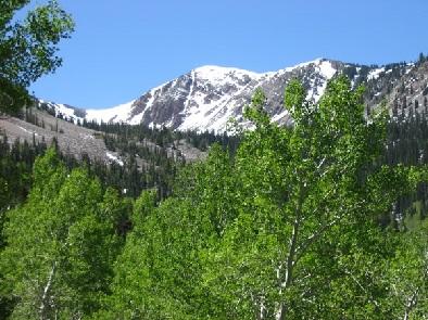
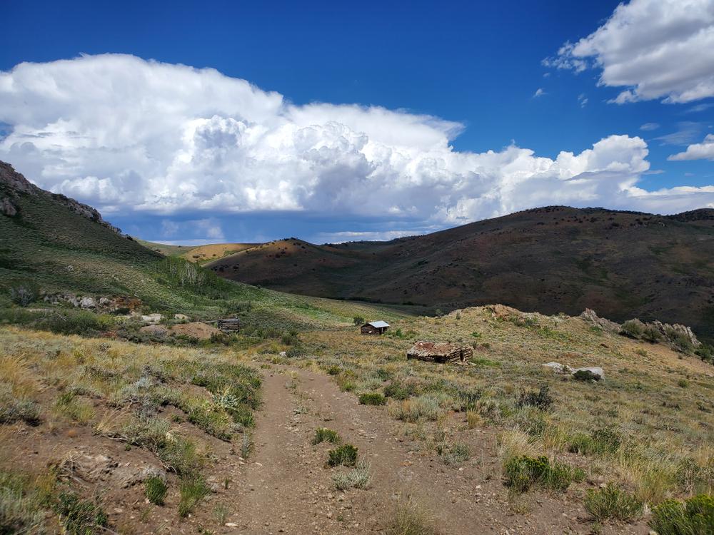
The Ranger Trail system provides opportunities for solitude, access to the High Schells Wilderness Area and sweeping views of the Steptoe Valley to the west. The trail system is a North-South point-to-point trail with numerous interconnecting options. Trails are natural surface, and provide a variety of terrain and numerous vistas. Several options for camping exist along the trail route, including Berry Creek, Timber Creek, Bird Creek, and East Creek campgrounds.
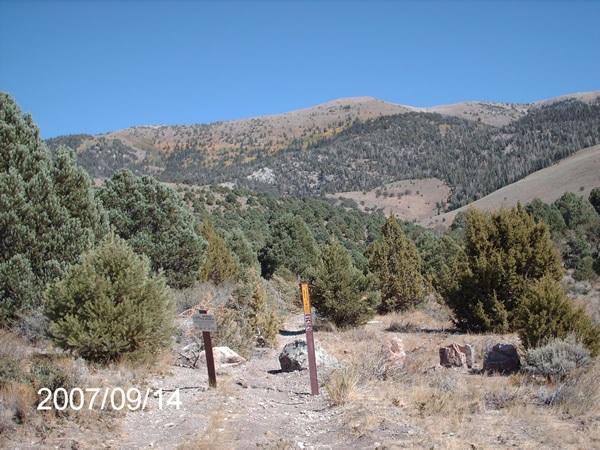
The Ranger Trail is 41.8 miles long. The southern point of the trail begins at Berry Creek on Forest Service Road #59424 in Sec 4 and ends at Ranger Road to the north. Ranger Road is right outside of Schellbourne, a ghost town that was formerly known as Schell Creek Station. There might not seem like there is too much left of the old landmark these days, but it was at one time a station on the Pony Express trail.
The trail is open for the following uses: Horseback Riding, Motorcycle Trail Riding, Off Highway Vehicles (OHV) less than or equal to 50 inches wide.
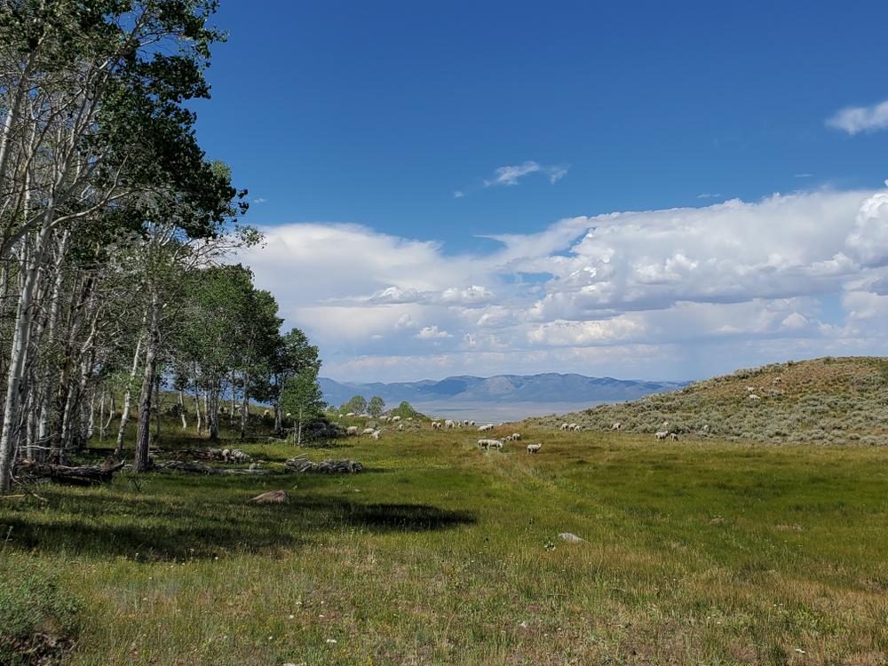
Given that portions of the Schell Mountain Range are designated wilderness, only hikers and equestrians are allowed within the wilderness boundary. Motorized and mechanized use is only permitted on surrounding non-wilderness trails. Please be respectful of the wilderness boundary and only travel on designated roads and trails for your activity type. Horses are allowed and only certified weed free hay can be brought in.
Currently, USDA Forest Service policy considers E-Bikes to be motorized vehicles, and therefore, are restricted to roads and trails designated for motorized use.
For equestrian specific information visit Nevada Horse trails!
Enjoy the Ranger Trail by staying on existing trails and admiring resources without touching them. Take out everything you brought with you. Be considerate of all other trail users. Always wear protective safety gear, and never operate an OHV under the influence of drugs or alcohol.
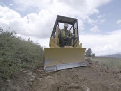
Be aware, parts of the Ranger Trail may still be under construction.
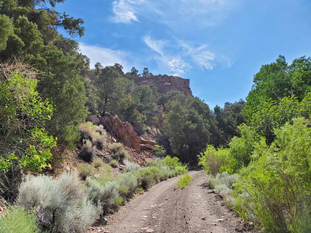
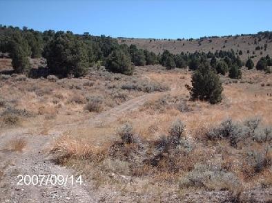
At this time, the southern end of the Ranger trail can be traveled by UTV without any issue. Use extreme caution when traveling the north end of the trail as there may be dead ends, downed trees or the trail may turn to single track without warning.
Use caution was riding the Ranger trail after heavy rain, roads may be washed out.
For more information on local tourism, lodging and other amenities, check out the City of Ely website.
For more information visit the USFS website or contact:

Download map files for your own use.
The southern point of the trail is accessed near the Berry Creek Campground, approximately 33 road miles NE of Ely, Nevada. From US Hwy 93 north, turn on Cave Lake Rd, then east on Berry Creek Rd. The northern point of the trail ends at Ranger Road, just outside of Schellbourne Ghost Town.
Success! A new password has been emailed to you.