Spring has sprung in Nevada! Discover the best places to view wildflowers in bloom here!
The trails around Pahrump are easy to access form the edge of town and lead you into amazing varied terrain. You can ride along the historic Wheeler pass and into the Spring Mountains National Recreation Area. If you're up for some backroad adventures you can take the dirt passenger car road from Pahrump to Ash Springs national Wildlife Refuge or you can take a day trip to Goodsprings!
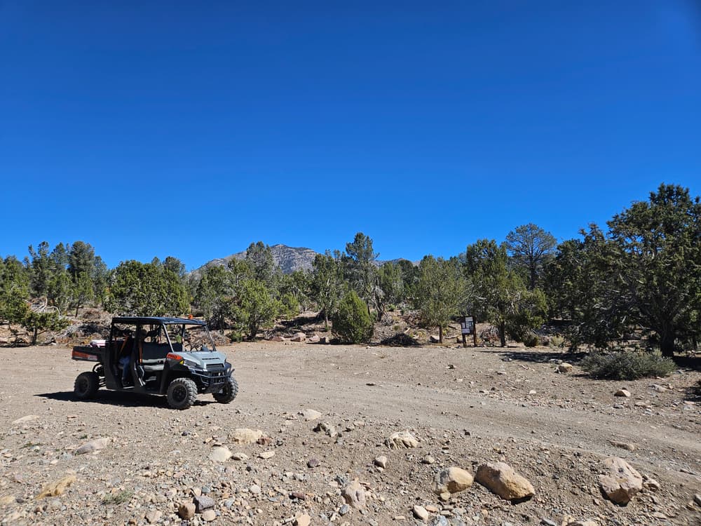
With so much to explore around Pahrump from alpine forests to Joshua Tree filled deserts, it can be hard to know where to start! Here are a few of the recommended riding locations:
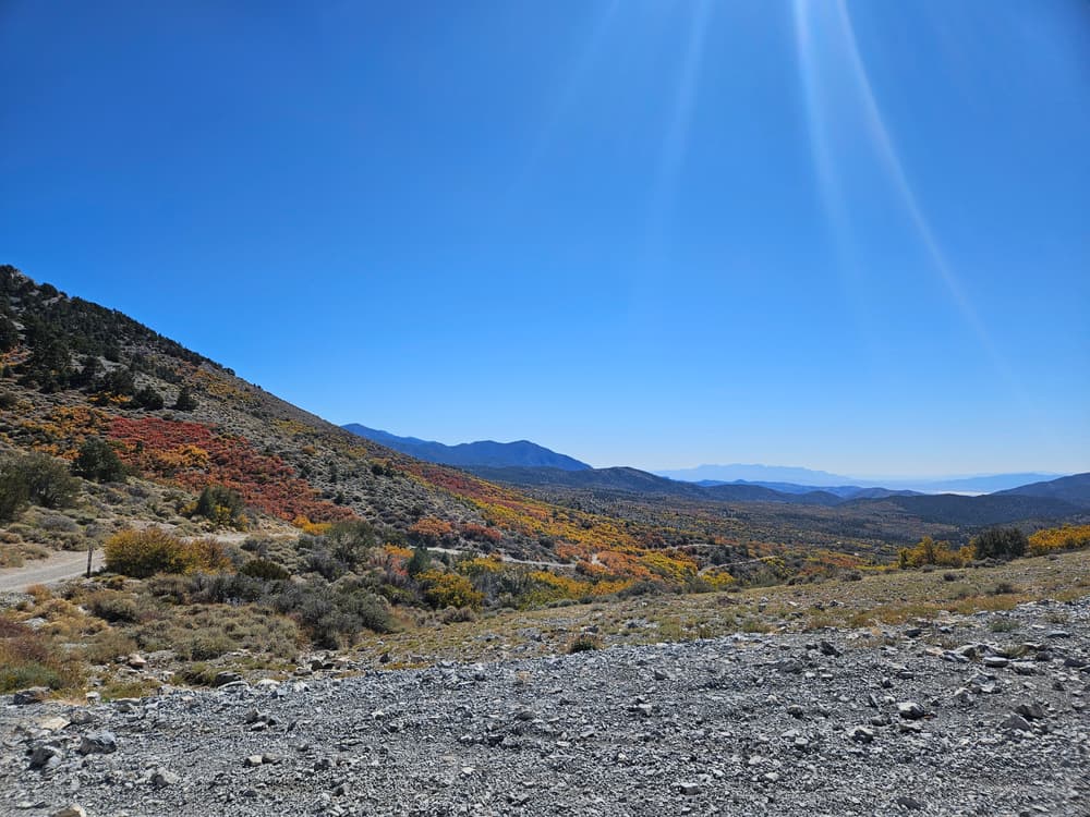
Carpenter Canyon: The Carpenter Canyon Road backcountry 4x4 trail is on the west side of the Spring Mountains near Pahrump. On a clear day, at the peak of this trail you get spectacular views from Charleston Peak to Telescope Peak in Death Valley National Park some 70 miles to the west. This route starts in the high desert and ends in the coniferous forest climate zone. You will likely see wild horses, burros, and deer. In the winter, upper Carpenter Canyon may be snowy and icy.
Wallace Canyon offers an easy foot path and plenty of parking. Mt. Charleston can also be reached from Wallace.
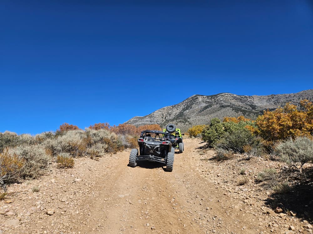
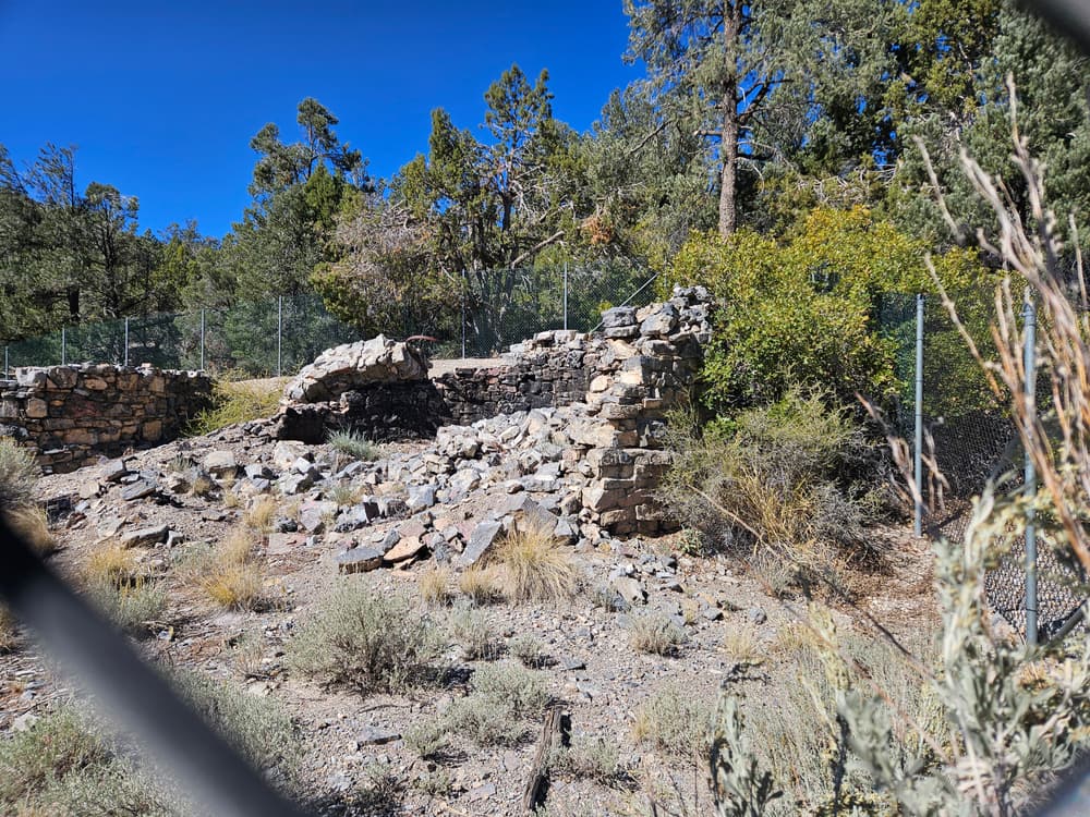
Wheeler Wells/Wheeler Pass: Wheeler Pass and the historic charcoal kilns are accessible by most 2WD high clearance vehicles but 4WD is recommended. The road starts off as a very wide maintained gravel road and begins to narrow to 50" winding trail as you begin to summit. Many spur trails along this route add to an exciting looped system so you won't have to take the same trail twice!
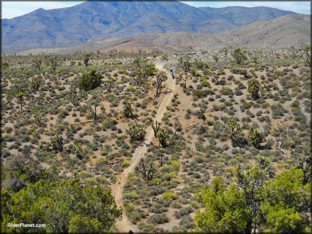
Elk Meadows Trails: This is one of the longer trails systems in the Pahrump BLM riding area filled with fast and fun winding trail through a beautiful Joshua Tree Forest. The trail is a steady decline/incline the entire way and is mostly 50". The trail is dirt with loose rocks, sections of gravel, some easy rock slab sections, and some loose and steep climbs.
Lovell Canyon/Summit: The scenic Lovell Summit Road is a heavily used backcountry paved connector route between Lovell Canyon and Trout Canyon. From HWY 160 the route is paved making it a quick 30 minute drive. From Trout Canyon the road is dirt and may be more difficult to pass. This road is a crucial connector for the continuous backcountry road system on the west side of the Spring Mountains National Recreation Area. Non-motorized trail access to Lovell Summit trail can be found where the paved half of Lovell Summit road ends.
Portions of the motorized routes travel near designated wilderness, only hikers and equestrians are allowed within the wilderness boundary. Motorized and mechanized use is only permitted on surrounding non-wilderness trails. Please be respectful of the wilderness boundary and only travel on designated roads and trails for your activity type. Horses are allowed and only certified weed free hay can be brought in.
The Bureau of Land Management has not completed Travel and Transportation planning for this area. The undesignated roads and trails shown on this map are informational only and are subject to change. This map implies no right of access across any private lands displayed on this map. Please follow Responsible Recreation guidelines and stay on existing roads and trails.
For more fun activities and lodging in Pahrump visit their website!
Other nearby recreation includes hiking at Red Rock Canyon NCA and Spring Mountain NRA, picnicking and historic tours at Spring Mountain Ranch State Park and mountain biking at Cottonwood Valley Recreation Area.
For more information visit the BLM Southern Nevada District Office website or contact:
Bureau of Land Management - Southern Nevada DOTrails can be accessed from the North and West trailheads.
Success! A new password has been emailed to you.
