As the first Back Country Byway in western Nevada established in 1990, this route highlights early mining history of Nevada and offters the public an opportuntiy to rediscover public lands through scenic views and historic and cultural immerson close to city centers.
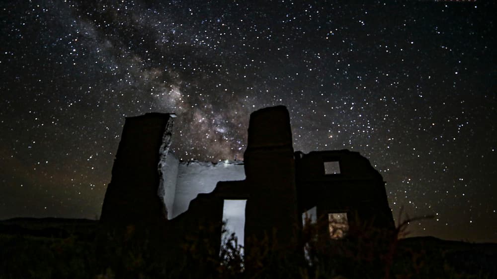
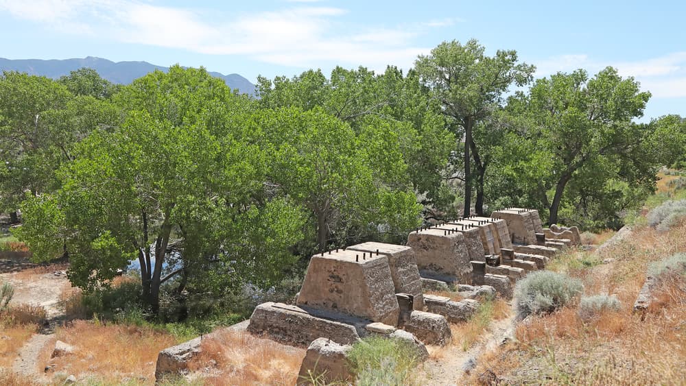
Historic attractions along the Fort Churchill to Wellington route include Fort Churchill State Park, the Pony Express Trail, Como Mining District and the rural towns of Dayton and Wellington. Ranching developments provide a contrast to the brown desert hillsides. Near the rustle and historic town of Dayton, a side trip could include the Rock Point Quartz Mill at Dayton State Park or Sutro Tunnel Historic Site (tour resevation required).
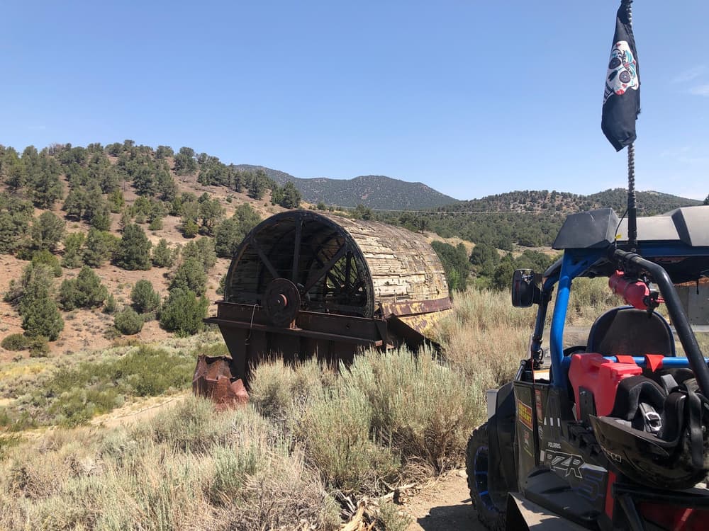
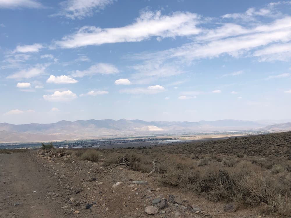
Scenic attractions along the route include the Carson River, the rugged Pine Nut Mountains, Burbank Canyons Wildernes Study Area and the beautiful Smith Valley. At key points, there are outstanding panoramic views of the Sierra Nevada Mountains and the Carson River Valley. The route crosses the Pine Nut Mountains, a popular area for gathering pine nuts, cutting family Christmas trees, viewing wild horses and wildlife, hunting and exploring.
This route can become rugged and tough to navigate at times. High clearance 4wd vehicles are reccomended along with rescue resources such as spare tires, food and water and other emergency road equipment.
Sections of this byway travel state or country roads where only street legal vehicles are allowed. Plan your route accordingly to not operate any OHV's on non-designated paved routes. No OHV's allowed within Fort Churchill State Park property.
The route though the Pine Nuts is not suitable to travel when there is snow on the ground or when the trails is muddy.
Visit the BLM website on Back Country Byways for more informaiton.
Sutro Tunnel Historic Site is open for guided tours only. Visit the Sutro Tunnel website to learn more!
Fee required when stopping at Forch Chuchill State Park visitor center and historic site.
For more information visit the BLM website or contact:
![]()
Download map files for your own use.
The route can be accessed via Fort Churchill State Park or from the town of Wellington. Fort Churchill is reached from Carson City via U.S. Highways 50 and Alternate 95. The byway ends near Wellington, 45 miles south of Carson City. Wellington is reached via U.S. Highway 395 and State Highway 208.
From the State Park you can access the byway by bypassing the entrence to the visitor center and historic site and continue straight. The road will soon become dirt and may become diffifuclt to pass at some points. Once you make it to the town of Dayton, the road becomes paved again.
From State Route 208 in Wellington head north on Upper Colony Dr. Continue along this road until you reach Artesia Rd, take a left. Artesia rd turns into an unpaved dirt road and you will continue on this for the rest of the byway journey until you make it to Dayton.
Success! A new password has been emailed to you.