The Pine Nut Mountain Range is located in Northwestern Nevada and extends from the Dayton area in the North, to State Highway 208 on the Walker River in the South. This mountain range provides an extensive system of roads and trails that range from single track to trails wider than 50’’, and is easily accessible from Dayton, Carson City, and the Carson Valley.
The area provides fun riding for all levels of difficulty and is primarily hard packed dirt or sand, with the occasional rocky hill climb. The highest peak in the mountain range is Mt. Siegel, at 9451’. As with most Nevada off-road areas, weather events and snow may cause roads to wash out or be impassable.
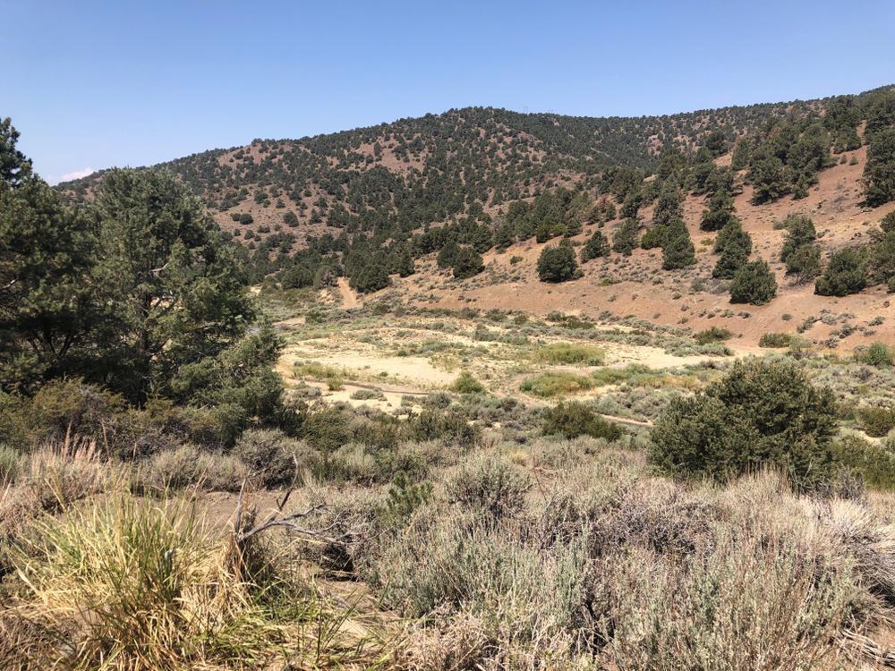
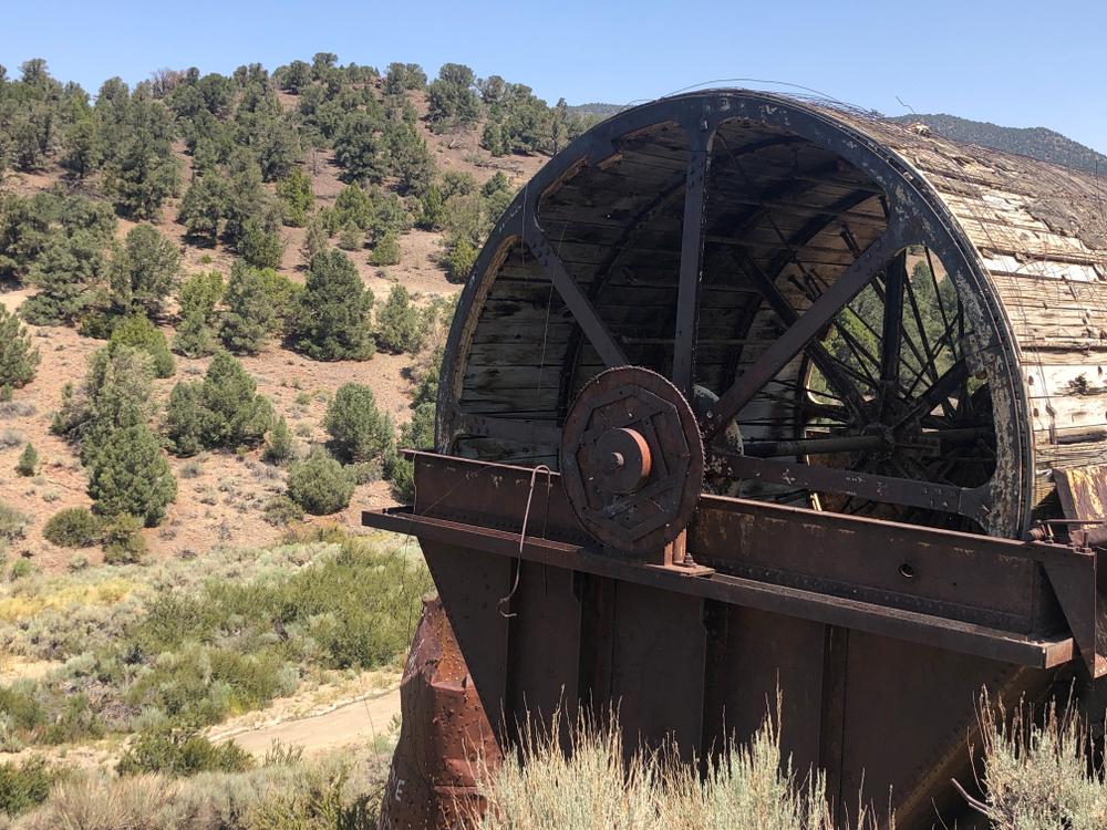
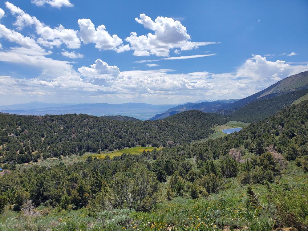
Trails will take the rider from the sagebrush-covered foothills up into the Pinyon and Juniper forest, and provides beautiful views of the valleys and the eastern Sierra Nevada Mountains. There are also several historic mining sites to visit, including the town of Como. Several state recreation areas provide direct access to the Pine Nut Mountain range including; Fort Church Hill State Park and Wilson Canyon Recreation Area.
Hundreds of wild horses roam the Pine Nut Mountain Range. Keep an eye out as there is a high chance of seeing a few on your ride!
Ecological Fun Fact!
This trail network passes through the habitat of Pine Nut Mountains Mousetails, a delicate wildflower that only lives in this mountain range. Keep an eye out for its low-growing, segmented, fluffy leaves and five-petaled white flowers. You can also see many other common wildflowers, including several varieties of Buckwheats (low-growing plants with pompom-like flowers of various colors) and Milkvetches (typically with long purple flowers, many pairs of leaflets, and pea-shaped seed pods). To protect these and other plants in the area, please stay on existing roads and trails.
Learn more about suggested routes within this trail network:
Given that portions of the Pine Nut Mountain Range are designated wilderness, only hikers and equestrians are allowed within the wilderness boundary. Motorized and mechanized use is only permitted on surrounding non-wilderness trails. Please be respectful of the wilderness boundary and only travel on designated roads and trails for your activity type. Horses are allowed and only certified weed free hay can be brought in. Currently, USDA Forest Service policy considers E-Bikes to be motorized vehicles, and therefore, are restricted to roads and trails designated for motorized use.
While visiting the Pine Nut mountain range, make sure to check out some of the best local attractions and trails in Carson City, Minden, Gardnerville and Dayton!
Check out Travel Nevada for some of the must see attractions in the area.
For more information on the Pine Nut Mountains and what you can do to help keep the trails ridable, visit the Pine Nut Mountains Trails Association website!
Visit the Carson Valley website for more fun events, lodging and other unique outdoor experiences!
For more information visit the BLM website or contact:
![]()
Download map files for your own use.
From Hwy 50 in Dayton: Access points are located at Como Road and at the Dayton Rodeo Grounds off of Dayton Valley Road.
From Carson City: Take the Fairview Drive exit East from Interstate 580. Turn right onto Carson River Rd, then Right onto Sierra Vista Lane after crossing the river. Multi-Use trailhead is about a mile down on the right.
Johnson Lane Access: Turn east onto Johnson Lane off of Highway 395 south of Carson City. Trailhead is at end of road.
Pinenut Road Access: There are two staging areas off of Pinenut Road, south of Gardnerville. Take Hwy. 395 South, turn east onto Muller Parkway and right onto Pinenut Road. Trailheads are about 2.5 miles east.
Bear activity is high in this area. Keep (people) (pets) (property) safe. Keep bears wild. For more information on the BearWise campaign, visit the Recreate Responsibly page, or click on this link to learn how to be BearWise in the outdoors.
Please avoid fire damaged areas. Trails can become unstable and unsafe for recreational use.
Success! A new password has been emailed to you.