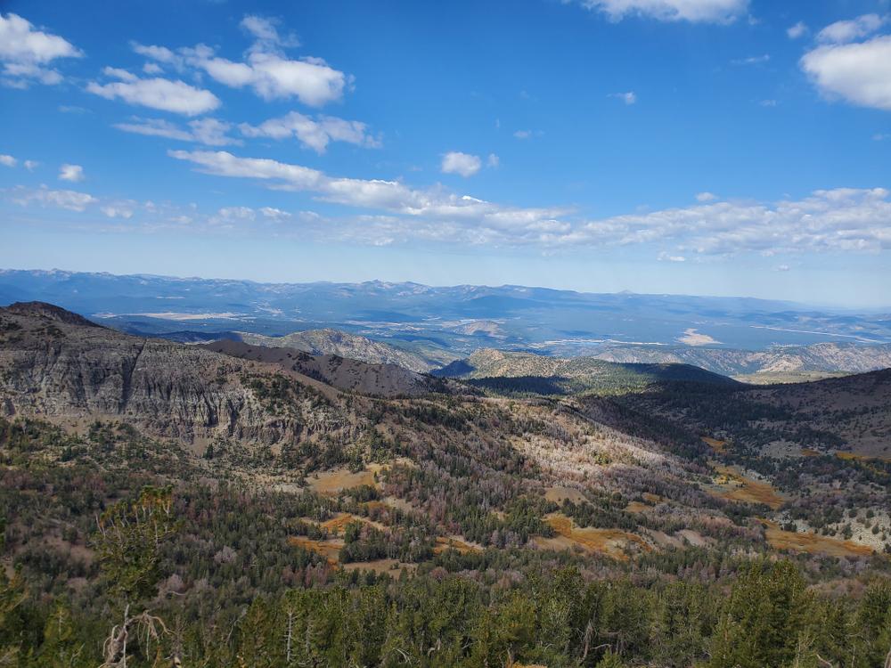
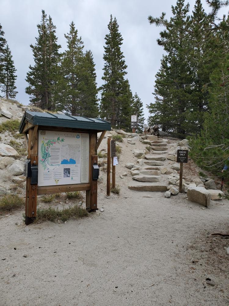
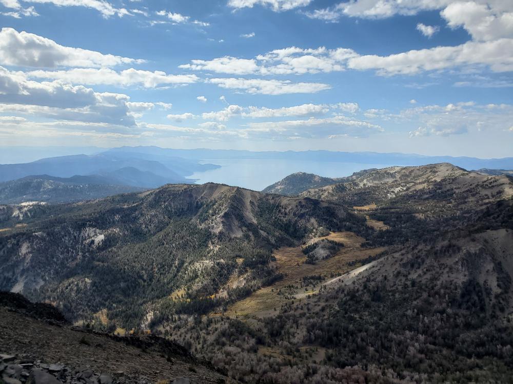
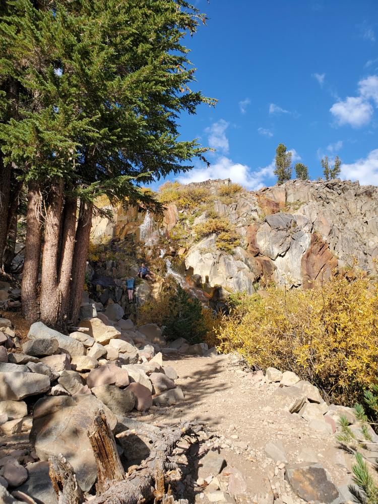
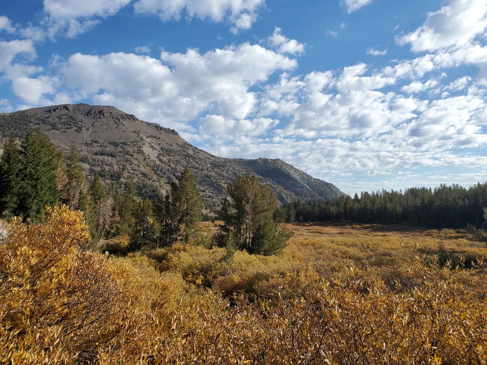
Towering at 10,776, Mt. Rose is the tallest mountain on the Nevada side of the Lake Tahoe Basin. Nicknamed for the rose-pink glow that shines off the snow in the winter months, Mt. Rose is a wonderland waiting to be explored. The entire wilderness area is comprised of several trail systems, loops and out-and-back trails. Some of the more popular trail systems that cross through are the Tahoe Rim trail and the Jones/Whites Creek Loop. Other popular trails include the Mt. Rose Summit trail and Tamarack lake trail.
The wilderness area is for hikers and equestrians only, mechanized and motorized travel is NOT allowed within any wilderness area in Nevada. Be sure to check activity uses for each trail before venturing off with your horse, some trail sections are closed to equestrians. In the winter cross country skiing and snow shoeing is very popular! Just outside of the wilderness area is an open area that is used for snowmobiling as well as the area south of Mt. Rose Highway.
Camping available at Mt. Rose Campground.
Fishing is allowed in the lakes, ponds and streams throughout the wilderness area. Be sure to purchase a permit through NDOW beforehand.
For more activities in the area, visit the U.S Forest Service website.
For visitor information in Incline Village or Reno, visit their city websites!
For additional information visit the US Forest Service website or contact:

Download map files for your own use.
All of the trailheads are located off of Mt. Rose highway just west of Reno. Parking and restrooms are available at most trailheads.
Bear activity is high in this area. Keep (people) (pets) (property) safe. Keep bears wild. For more information on the BearWise campaign, visit the Recreate Responsibly page, or click on this link to learn how to be BearWise in the outdoors.
Success! A new password has been emailed to you.