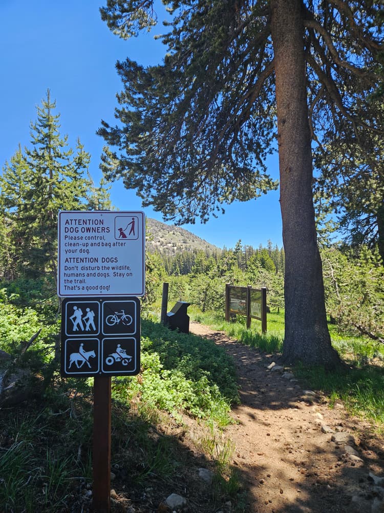
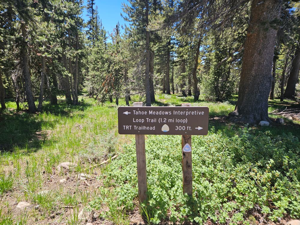
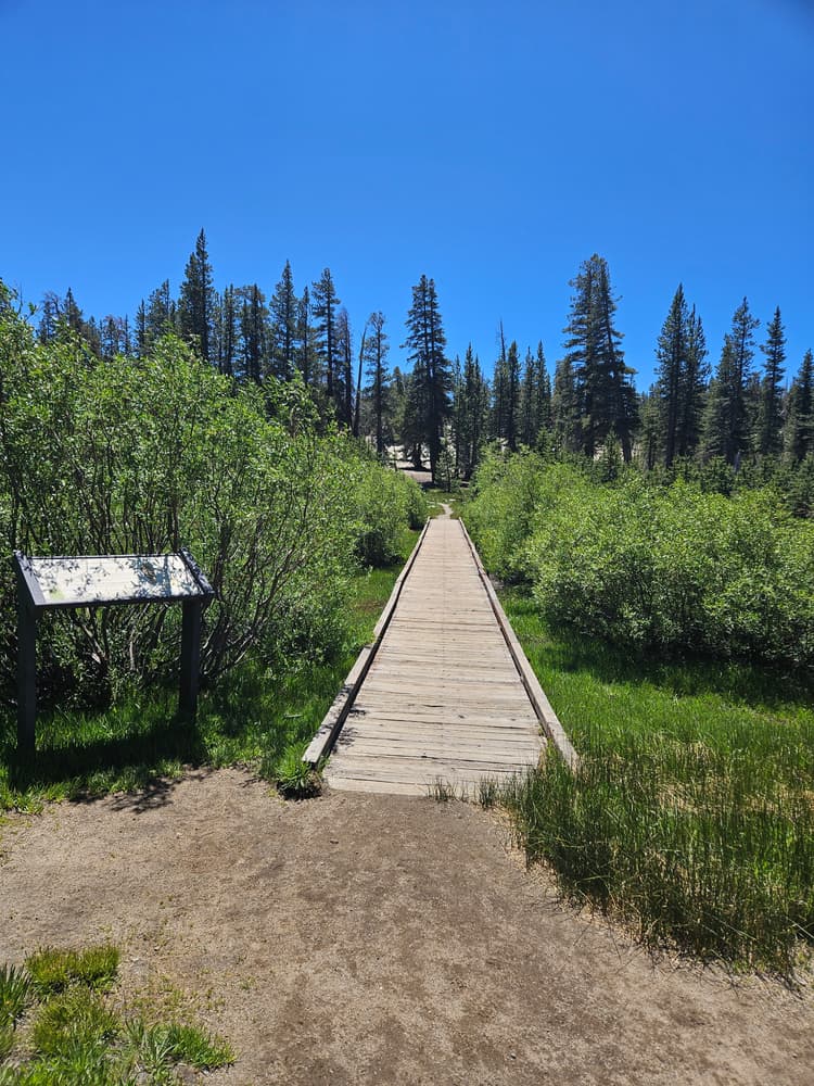
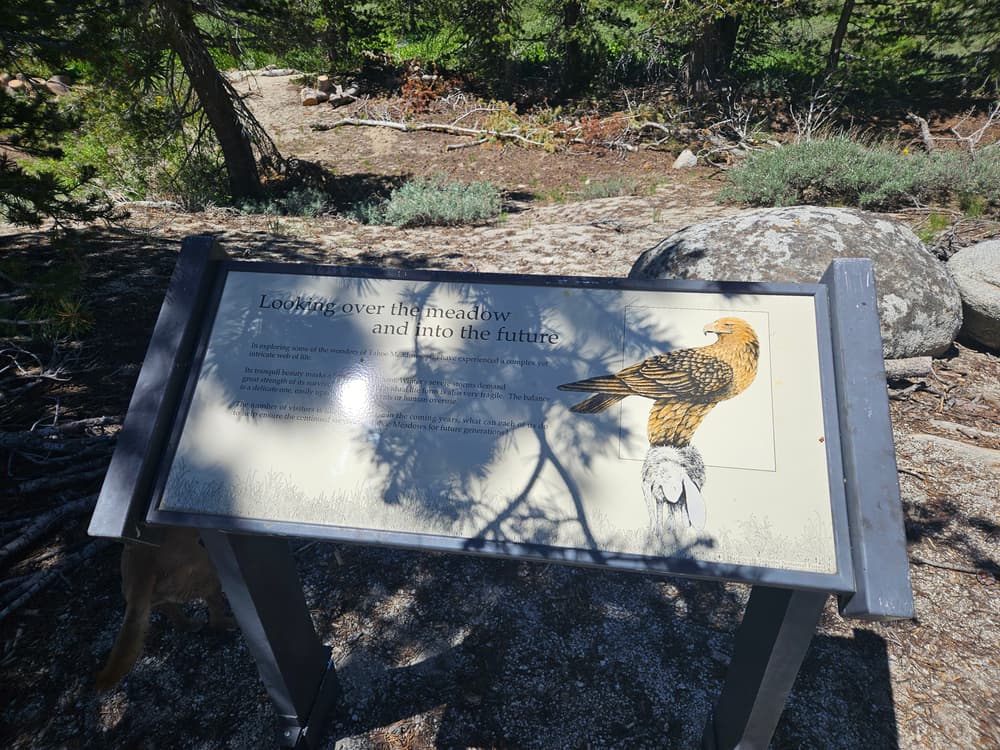
Tahoe Meadows Interpretive Trail is a very well maintained and moderately trafficked loop. There are information kiosks along the route teaching visitors about the history and ecology of the area. Several directional signs mark trail intersections and keep you on your path.
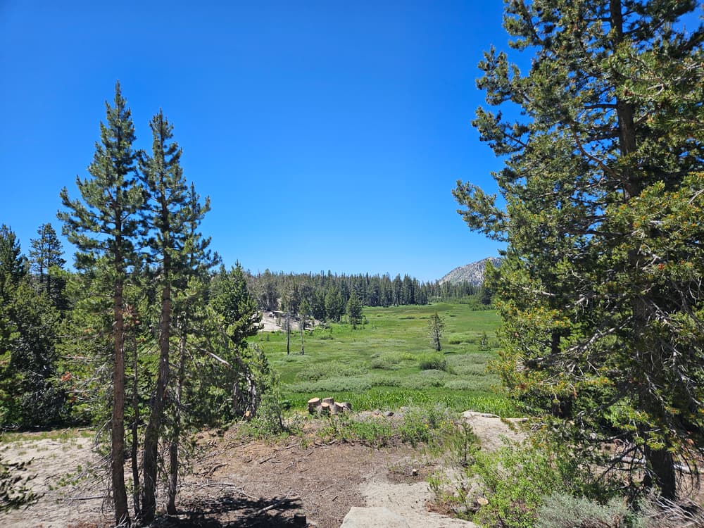
In the spring, beautiful wildflowers and sloping green hills canvas the landscape.
Only sections of this trail are ADA friendly.
Check weather conditions before visiting as snow accumulation may make the trail hard to find. The trail may be explored by snowshoes during the winter months.
Snowmobiles are restricted to the southwest end of the meadow.
Read more about the trail's history and recreational uses on the Nevada Land Trust's website, or learn more about the trail in the Tahoe Trail Guide.
For additional information, visit the US Forest Service - Lake Tahoe Basin website, or contact:

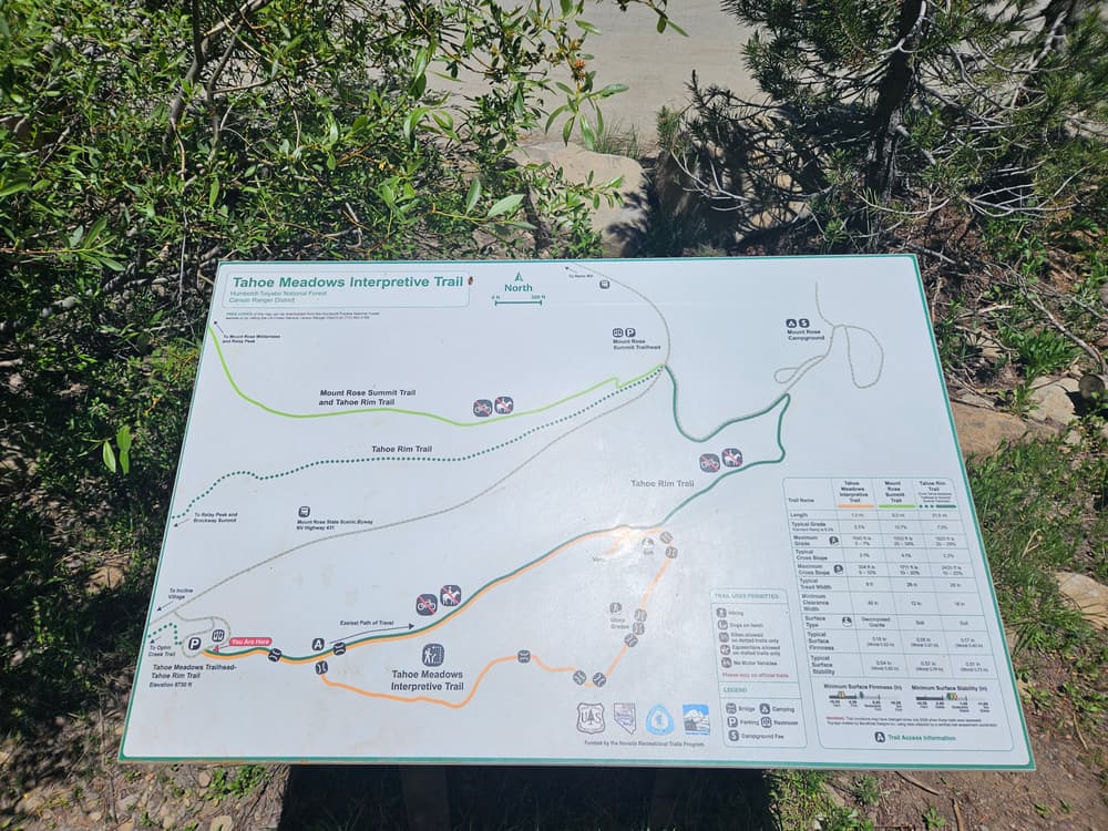
Download map files for your own use.
From its intersection with NV-28 (Tahoe Boulevard) in Incline Village, take NV-431 (Mt Rose Highway) north. Go 7.4 miles to the parking area and trailhead on the right. There is a paved parking lot along the south side of Mt. Rose highway for the Tahoe Meadows Interpretive Loop and for the Tahoe Rim Trail trailheads. The Tahoe Meadows Interpretive Loop trailhead is located at the south-east corner of the parking lot and is marked by signage and a kiosk.
Bear activity is high in this area. Keep (people) (pets) (property) safe. Keep bears wild. For more information on the BearWise campaign, visit the Recreate Responsibly page, or click on this link to learn how to be BearWise in the outdoors.
Success! A new password has been emailed to you.