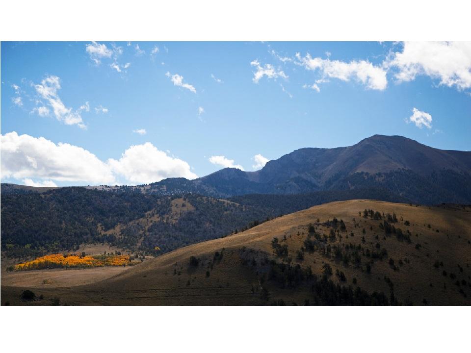
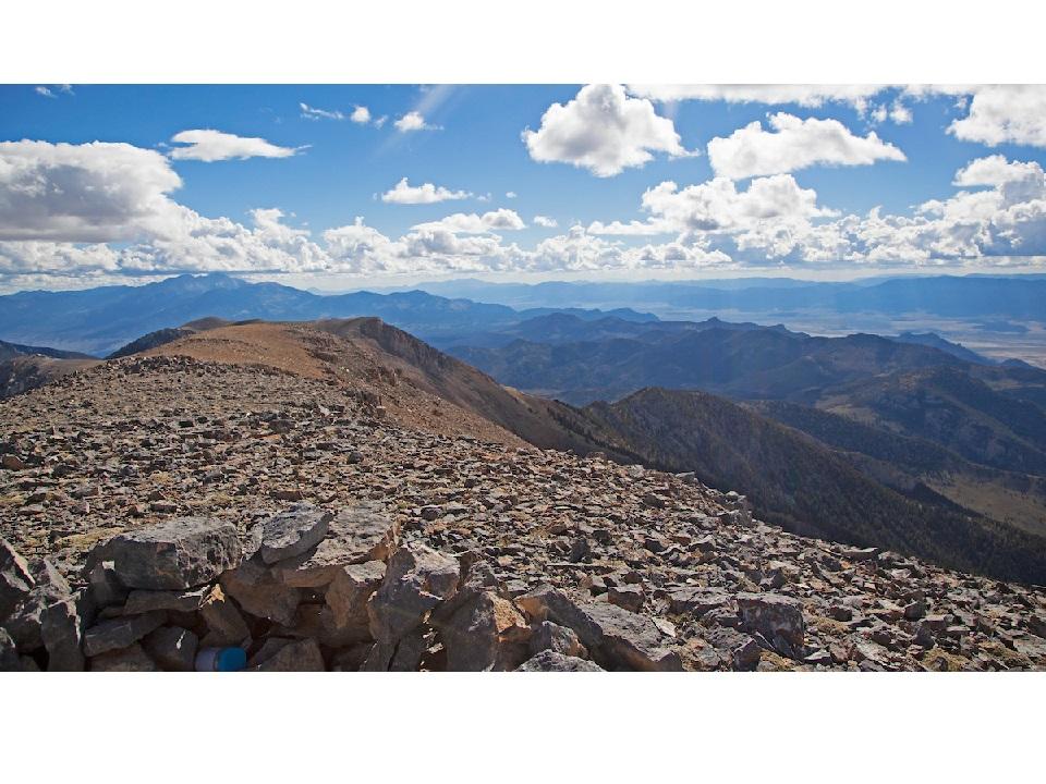
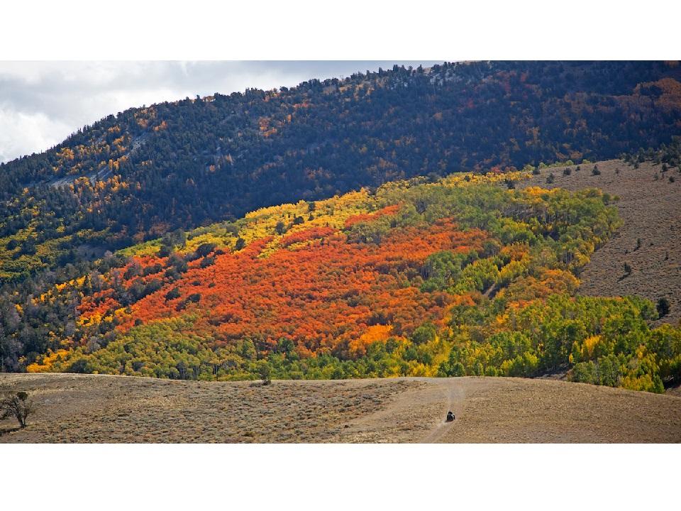
Located directly north of the Great Basin National Park and 60 miles east of Ely, the Upper Snake Range is teaming with pinyon pines and age old Bristlecone pines. The highlight of the Upper Snake Range is the Mt. Moriah wilderness area and the Mt. Moriah summit, towering it at 12,050 ft. Across from the beautiful summit is Mt. Moriah is a large plateau known as "The Table", full of bristle cone and lumber pines. The majority of the Mt. Moriah wilderness and surrounding area is very rugged and dense with pinyon-juniper forests. Several shallow caves scatter the area, some giving insight to a prehistoric past.
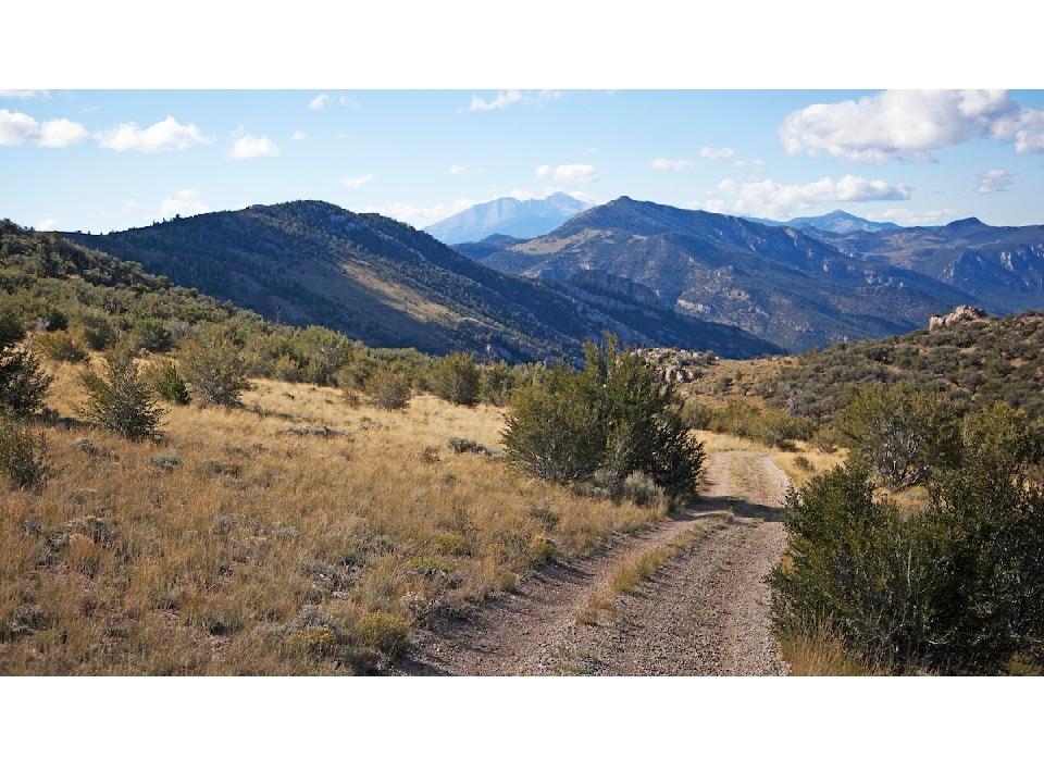
Several well developed trails, as well as primitive trails, run through the Mt. Moriah wilderness area. The established trails follow year long streams flowing with trout. At the center of the wilderness area, water is sparse, so if you plan to backpack, bring plenty of water! Currently, there are no established trails in the Government Peak wilderness area.
The southern end of the Snake Range is comprised of Sacramento Pass Recreation Area and the Great Basin National Park. Both of these areas are worth visiting and camping at!
Two wilderness areas make up the Upper Snake Range; Mount Moriah Wilderness Area and the Government Peak Wilderness Area. Only non-mechanized and non-motorized travel is permitted within the wilderness areas. If you are looking to OHV or mountain bike, please stick to designated trails only outside of the wilderness boundaries. Certified weed free hay is required if bringing feed into the Humboldt-Toiyabe National Forest service boundary. Currently, USDA Forest Service policy considers E-Bikes to be motorized vehicles, and therefore, are restricted to roads and trails designated for motorized use.
The Bureau of Land Management has not completed Travel and Transportation planning for this area. The undesignated roads and trails shown on this map are informational only and are subject to change. This map implies no right of access across any private lands displayed on this map. Please follow Responsible Recreation guidelines and stay on existing roads and trails.
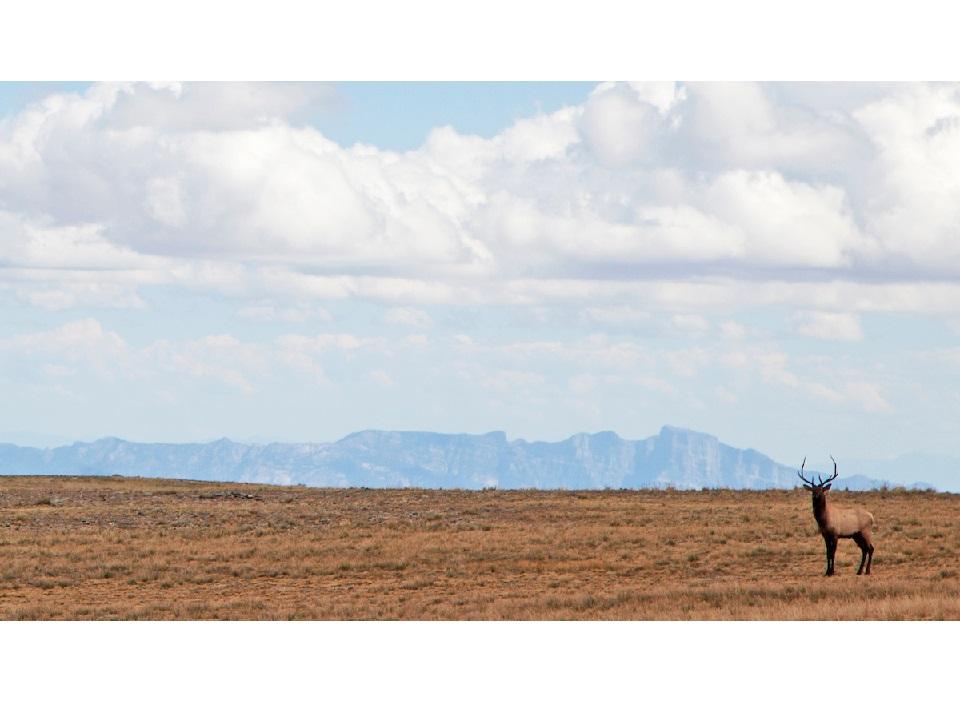
Hunting and fishing is permitted in the wilderness areas. Visit the NDOW website for information on permits and regulations.
Snow is common throughout the winter. Be sure to know your route thoroughly before heading out.
Due to extreme weather conditions, various trails in the wilderness area and surrounding trails may be severely washed out or decommissioned until repaired. Cell service is sparse in the Snake Range so please plan accordingly.
For more information of the rules and regulations within the forest service area please visit the U.S Forest Service website.
For more information visit the U.S Forest Service website or contact:
![]()
Download map files for your own use.
Accessing the non-motorized trails from the west require a high clearance 4WD vehicle. Trails can be accessed via Hwy 50, State Route 893 or via N Gandy Hwy in Utah.
Success! A new password has been emailed to you.