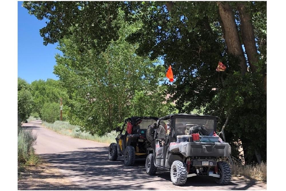
Suggested Adventure loops that were offered as options for the group OHV ride at the 2019 Nevada OHV Summit, in Caliente Nevada. These routes and mileages highlight some of the beautiful terrain in and around the area, and show suggestions for good day trips out of the City of Caliente.
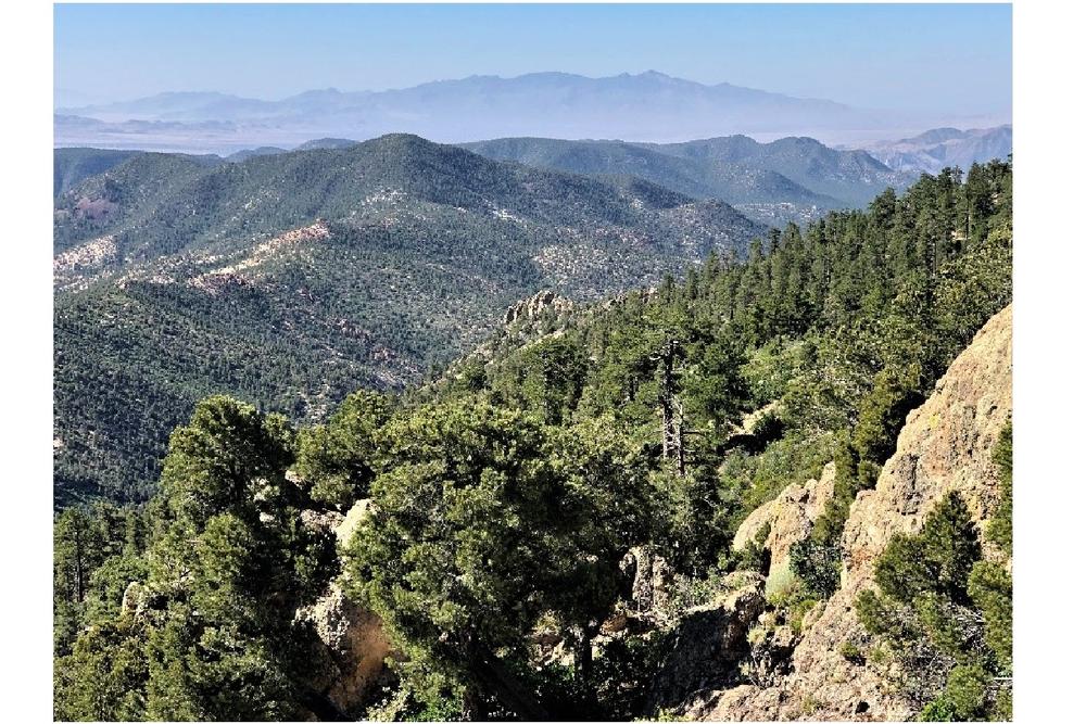
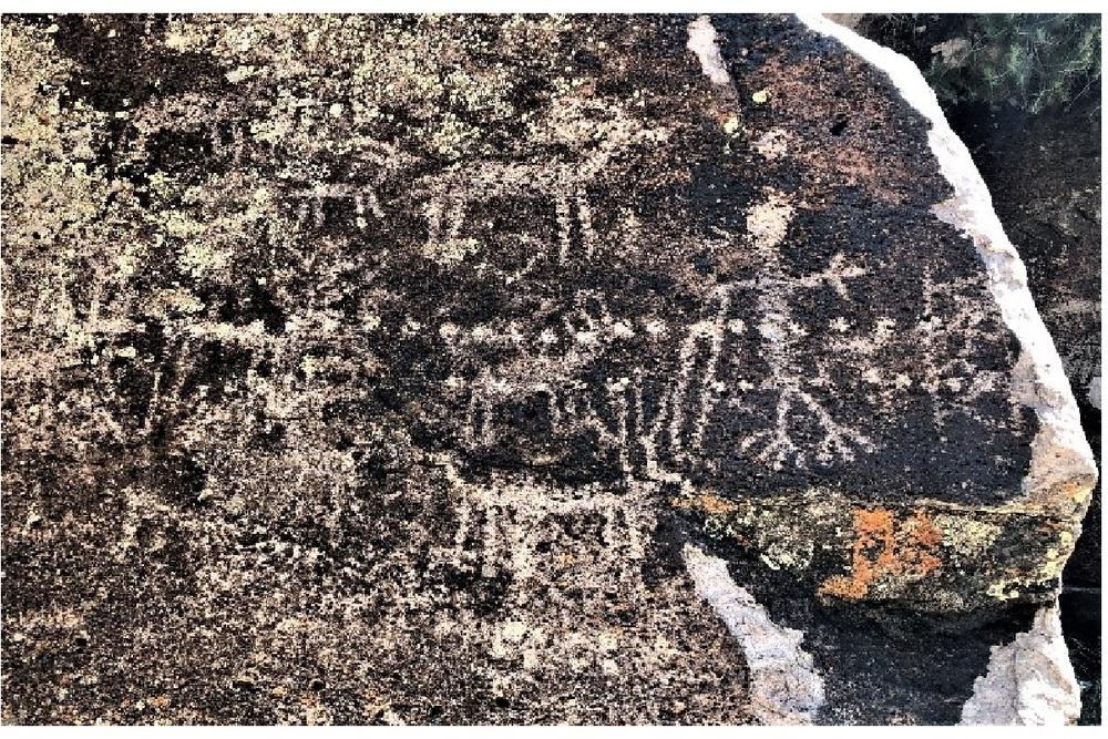
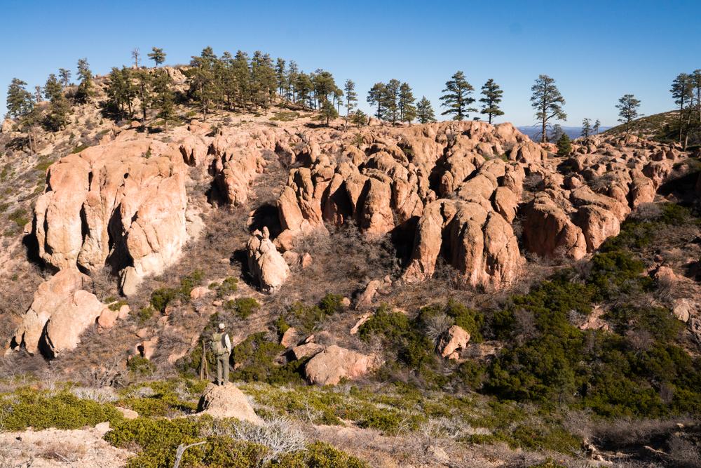
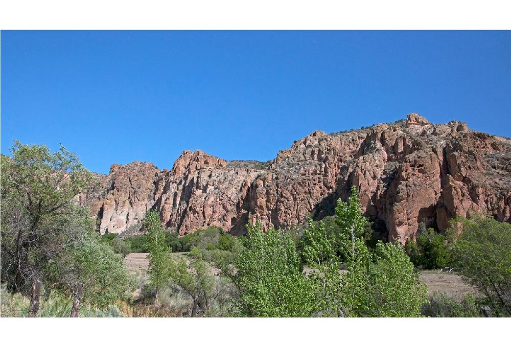
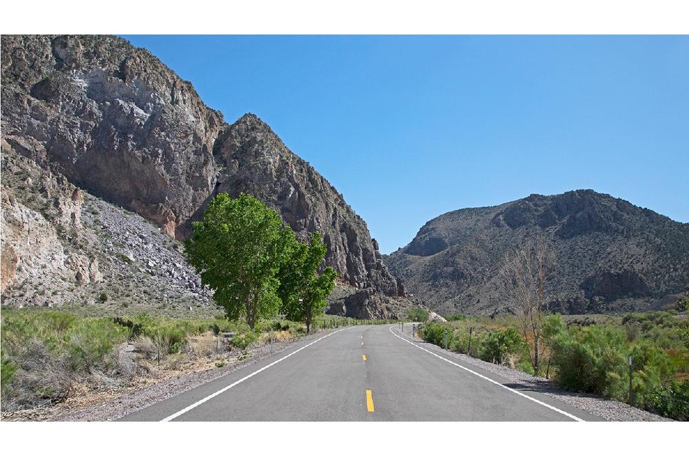
These tracks show potential OHV adventures out of Caliente, NV and connect plenty of the amazing landmarks and scenic vistas around the Caliente area. Each suggested loop has something unique to offer, including popular sites like Ella Mountain Lookout, Pine Canyon Dam Petroglyphs, Barclay settlement, Kershaw-Ryan and Elgin School House State Parks, as well as the Delamar Mine and Ghost Town. See “Trail Descriptions” in the Additional Information section for a PDF with very detailed descriptions of each ride loop!
Loop A:
- Approximately 51 miles
- 4-6 hours for complete ride
- Moderate/Difficult depending on recent weather conditions
Loop B:
- Approximately 53 miles
- 4-5 hours for complete ride
- Easy with some creek crossings
Loop C:
- Approximately 88 miles
- 6-8 hours for complete ride
- Moderate
These loops are suggested routes only, trail conditions may change depending on local weather events or trail damage. Always plan ahead and prepare for uncertainty. Travel with warm clothing, first aid, food, water and appropriate tools to fix a problem. Traveling in groups is always a good idea, as well as informing someone of where you will be going.
The Bureau of Land Management has not completed Travel and Transportation planning for this area. The undesignated roads and trails shown on this map are informational only and are subject to change. This map implies no right of access across any private lands displayed on this map. Please follow Responsible Recreation guidelines and stay on existing roads and trails.
For more related trails in the area, check out NVTF's page for Caliente to Mesquite!
For more information, contact:
![]()
Download map files for your own use.
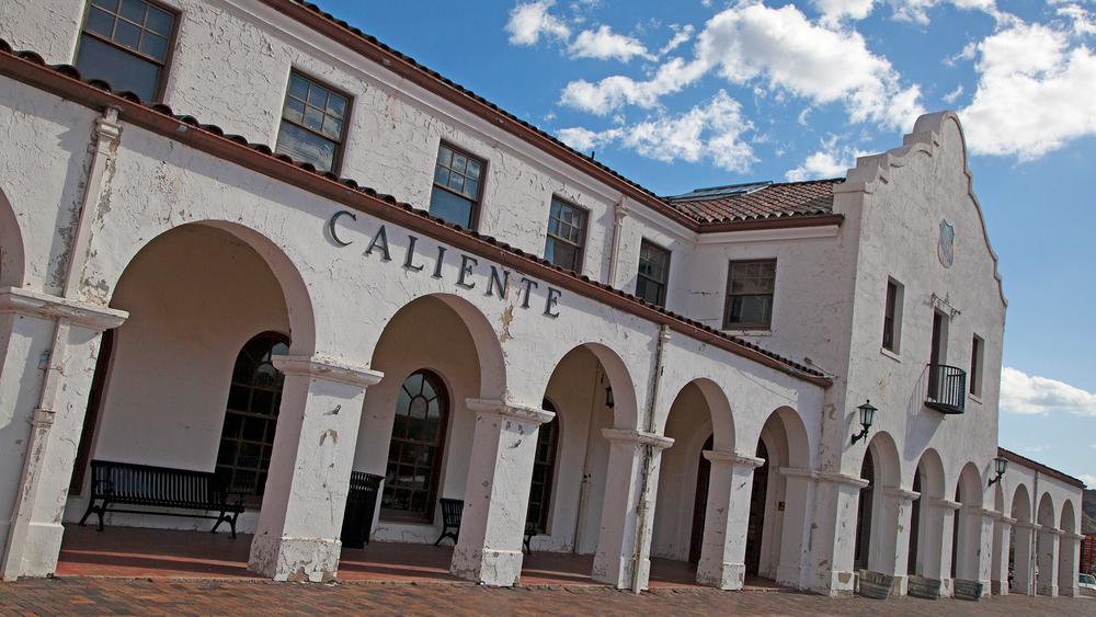
Staging can be done at the Historic Railroad Depot in downtown Caliente.
Success! A new password has been emailed to you.