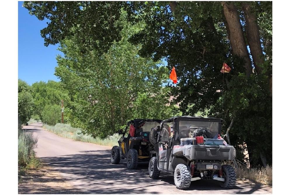
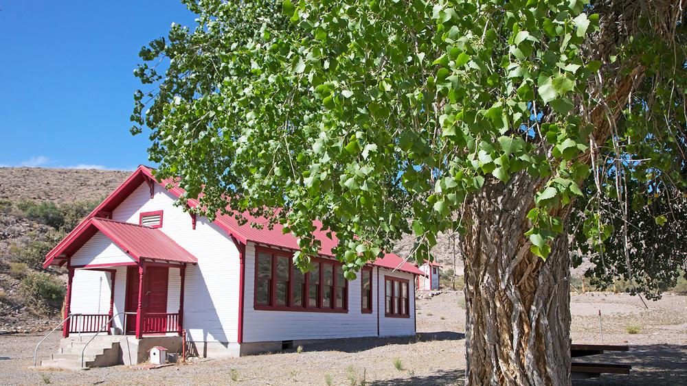
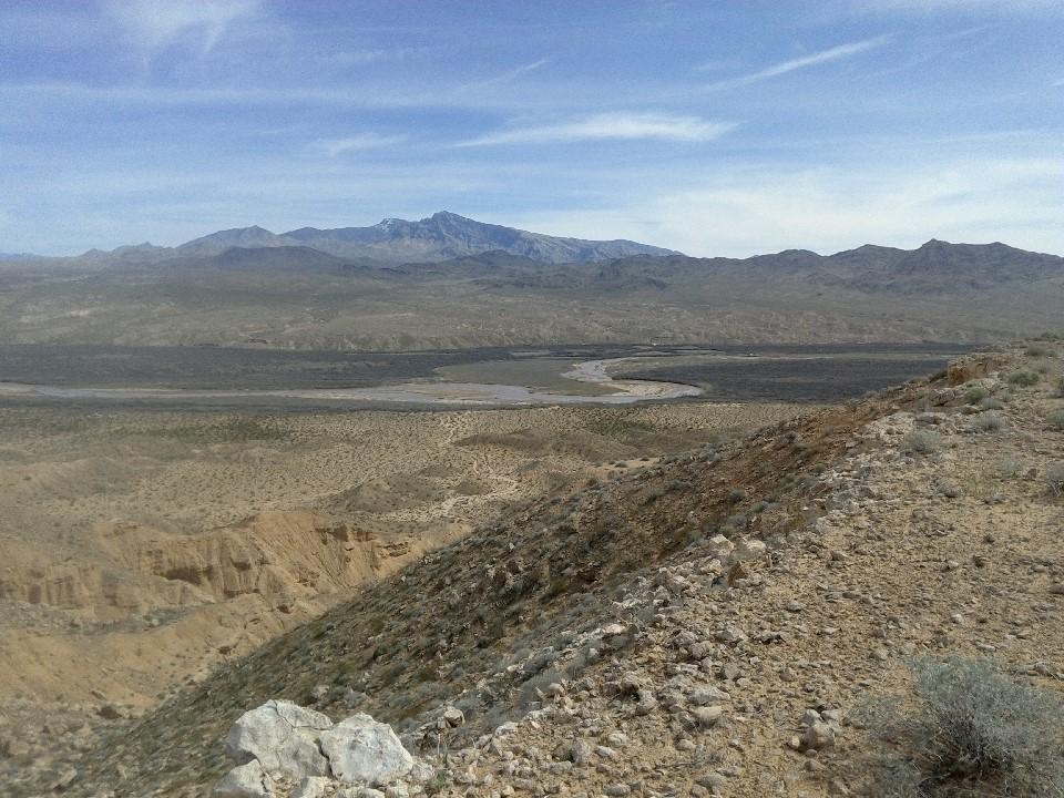
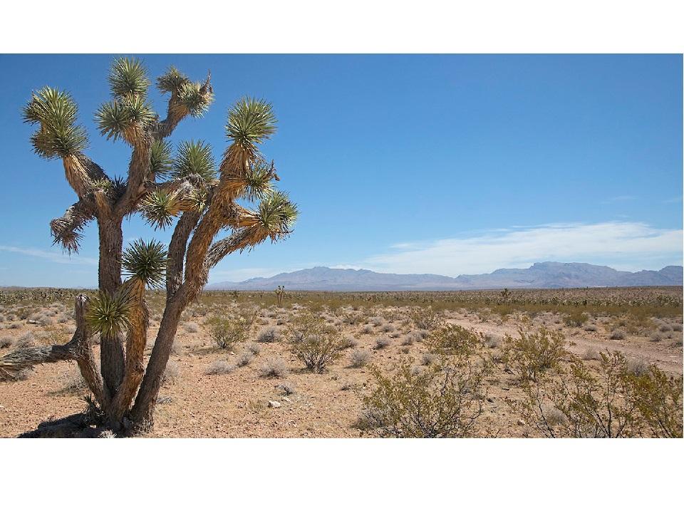
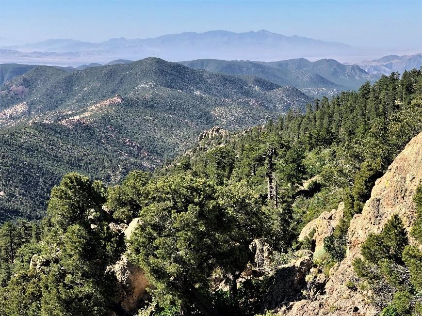
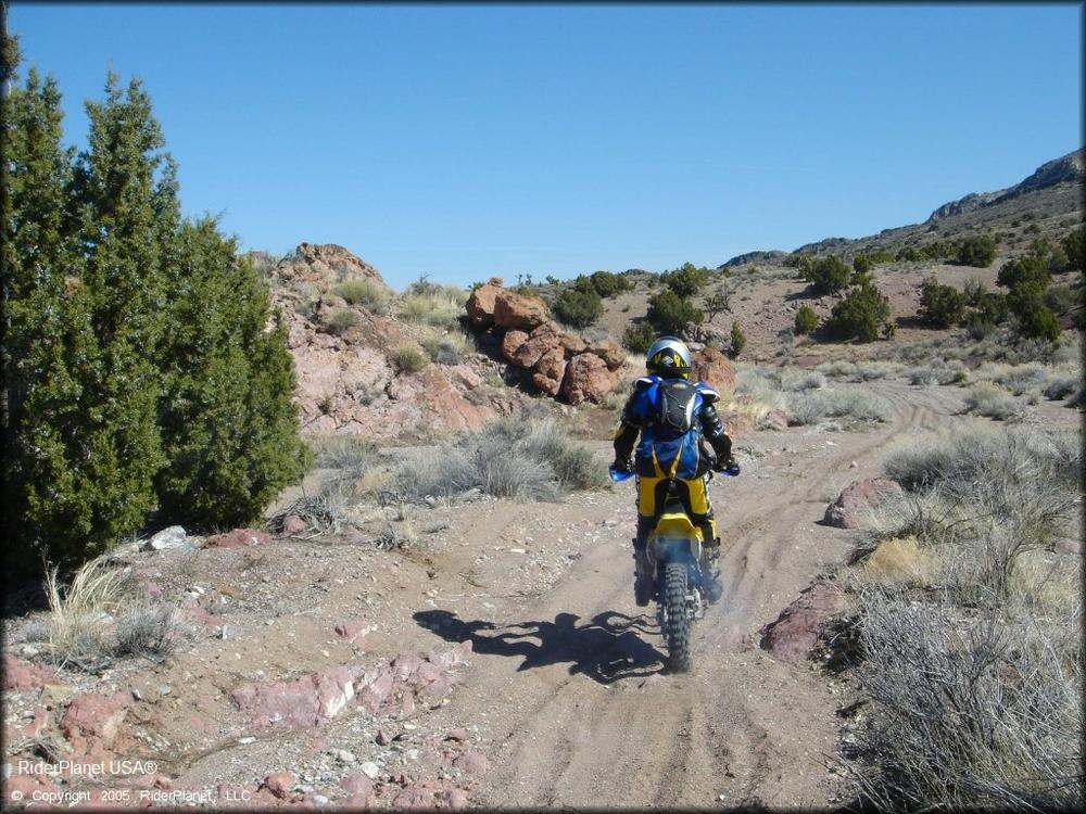
Both Caliente and Mesquite are popular destinations for OHV enthusiasts! Located on the eastern side of the state, this network of BLM roads and trails has plenty to explore. Heading south out of Caliente is the beautiful and scenic Rainbow Canyon Road, which leads drivers through the canyon to various climbing areas and connects Kershaw-Ryan State Park with Elgin Schoolhouse State Historic Site. Beaver Dam State Park is about 33 miles East of Caliente, along Beaver Dam Road. Ella Mountain is another great scenic destination to check out, as well as sites like Flattop Mesa, Delamar Mine, and Chief Mountain.
For more detailed and suggested routes, see our posting for Caliente Area Suggested OHV Trails! Or check out these other OHV areas on Off-Road Nevada:
Ecological Fun Facts!
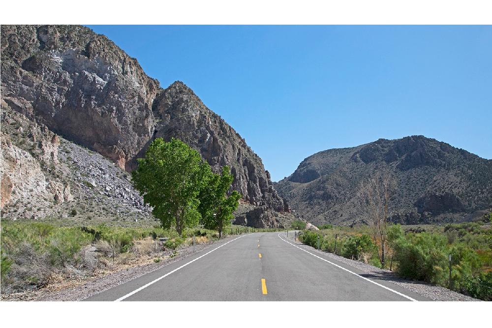
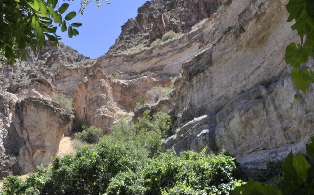
This massive network of roads and trails passes through a spectacular variety of scenery, terrain, and habitats. Along Route 317 between Mesquite and Caliente you’ll follow Meadow Valley Wash, an intermittently wet channel that flows after precipitation and, in areas fed by springs, ultimately drains into Lake Mead. Although sections of the Wash are often dry, other portions are a flowing oasis that are home to the Meadow Valley Speckled Dace, a tiny fish that lives nowhere else. You can also see other rare species like Arizona Toads and Southwestern Willow Flycatchers in and around the Wash.
Learn more about suggested routes within this trail network:
The Bureau of Land Management has not completed Travel and Transportation planning for this area. The undesignated roads and trails shown on this map are informational only and are subject to change. This map implies no right of access across any private lands displayed on this map. Please follow Responsible Recreation guidelines and stay on existing roads and trails.
Per Ordinance, in Mesquite, Off-Highway Vehicle or Unregistered Golf Cart use is ALLOWED on all city streets, with the following exceptions:
Note: OHV and/or Golf Cart use is Permissible from Hafen to the bridge.
These are suggested routes only, trail conditions may change depending on local weather events or trail damage. Always plan ahead and prepare for uncertainty. Travel with warm clothing, first aid, food, water and appropriate tools to fix a problem. Traveling in groups is always a good idea, as well as informing someone of where you will be going.
For more information, visit the BLM website or contact:
![]()
Download map files for your own use.
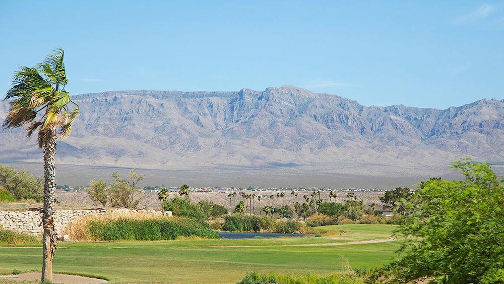
The City of Mesquite is located on I-15, along the Nevada/Arizona border, and Caliente can be reached by taking US-93 north out of Las Vegas, NV.
Multiple areas are available for staging.
Success! A new password has been emailed to you.