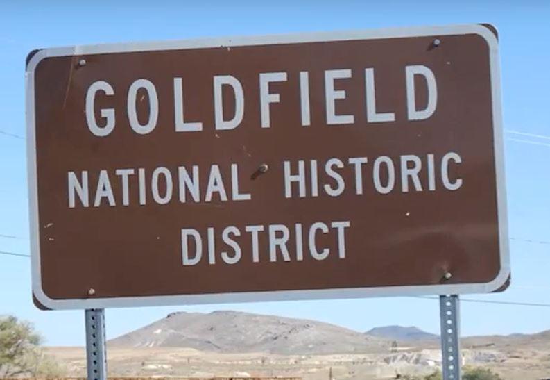
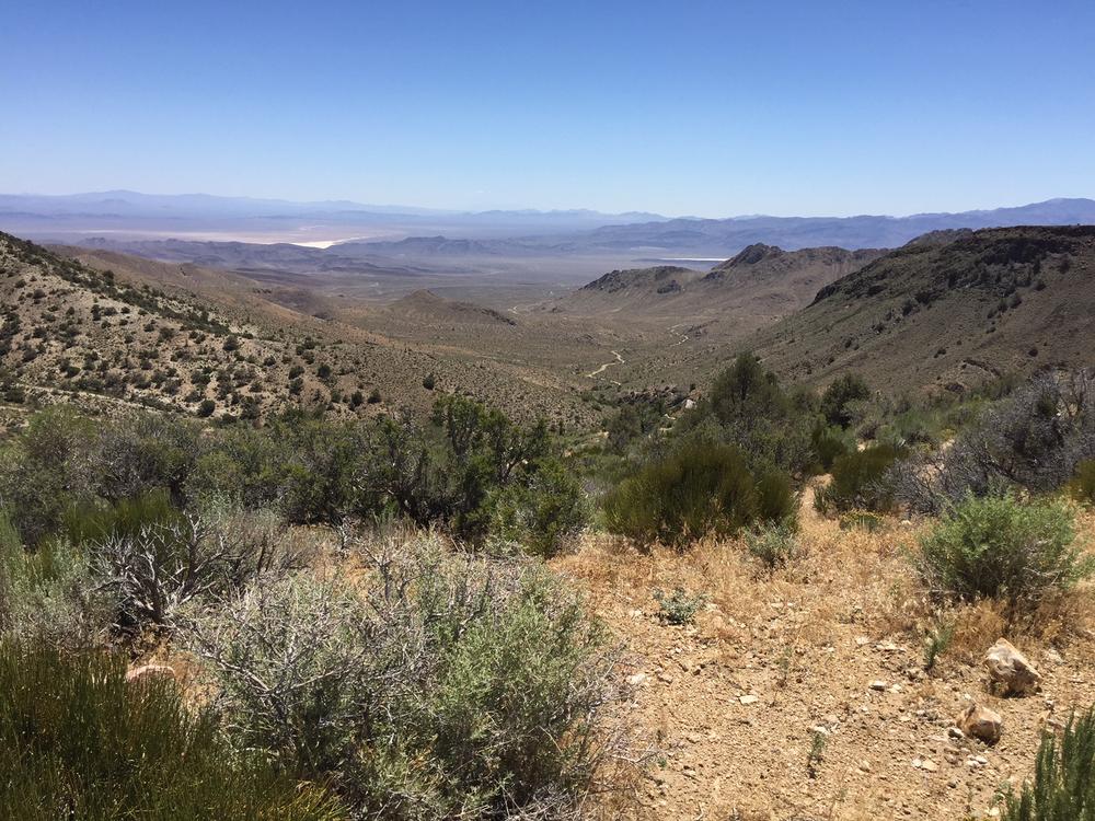
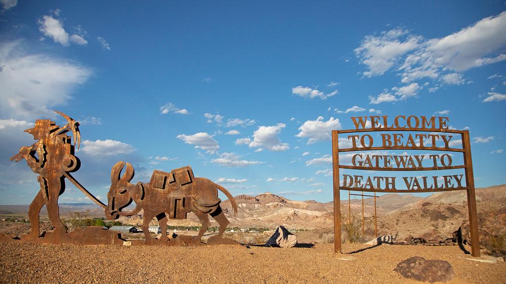
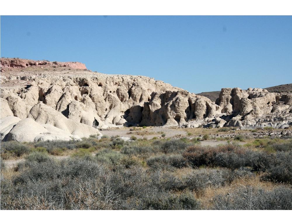
Trails between Beatty and Goldfield consist of mining roads and 4WD routes that cross-cross the entire region. The first leg of this suggested route will take you from the town of Beatty, through the mountains to the old ghost town of Gold Point. This historic mining town is an OHV-friendly stopping place with a restaurant, bar, and cabins. The second leg of the journey goes north to the town of Goldfield, and the third segment of the trail travels north to Tonopah. Riders will pass multiple historic mining sites, beautiful geologic features, Joshua tree and cactus forests, and may see a wild burro or two.
Roads are generally two-track dirt roads, and high clearance, 4WD vehicles are recommended. During wet weather, roads may be impassable in many areas in the canyons and on the flats, so travel with caution.
The Bureau of Land Management has not completed Travel and Transportation planning for this area. The undesignated roads and trails shown on this map are informational only and are subject to change. This map implies no right of access across any private lands displayed on this map. Please follow Responsible Recreation guidelines and stay on existing roads and trails.
Motor vehicles are permitted on designated trails only. Always plan ahead and prepare for uncertainty. Travel with warm clothing, first aid, food, water and appropriate tools to fix a problem. Traveling in groups is always a good idea, as well as informing someone of where you will be going.
Goldfield Chamber of Commerce (goldfieldnevada.org)
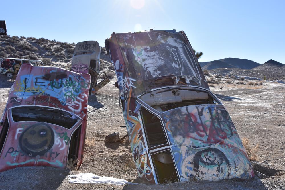
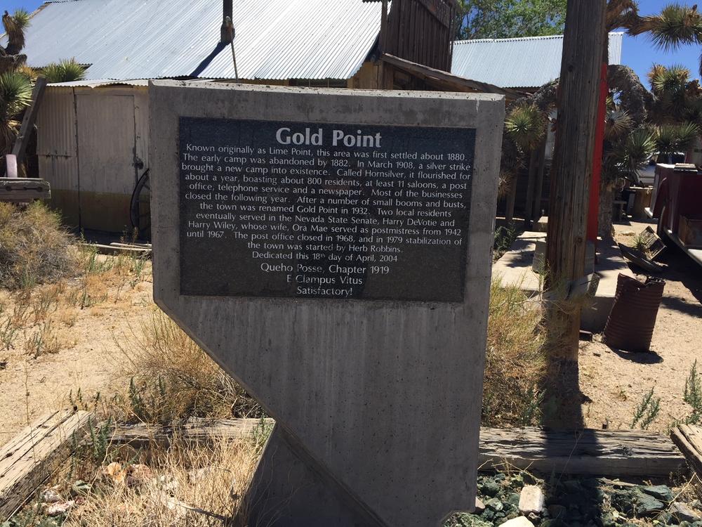
Gold Point Ghost Town - Goldpoint, Nevada
Do not touch or take any artifacts from any archeological sites you may come across. Please report damage to archeological sites here!
For more information, contact:
![]()
Download map files for your own use.
From Beatty, begin at Flourspar Canyon Rd, approximately 1 mile south of Beatty on Highway 95.
To start at the north end of the route, in Goldfield, the trail begins on the west end of 4th Street. Staging is allowed at the Goldfield Visitor Center, off of Hwy 95 at 1st Street.
Success! A new password has been emailed to you.