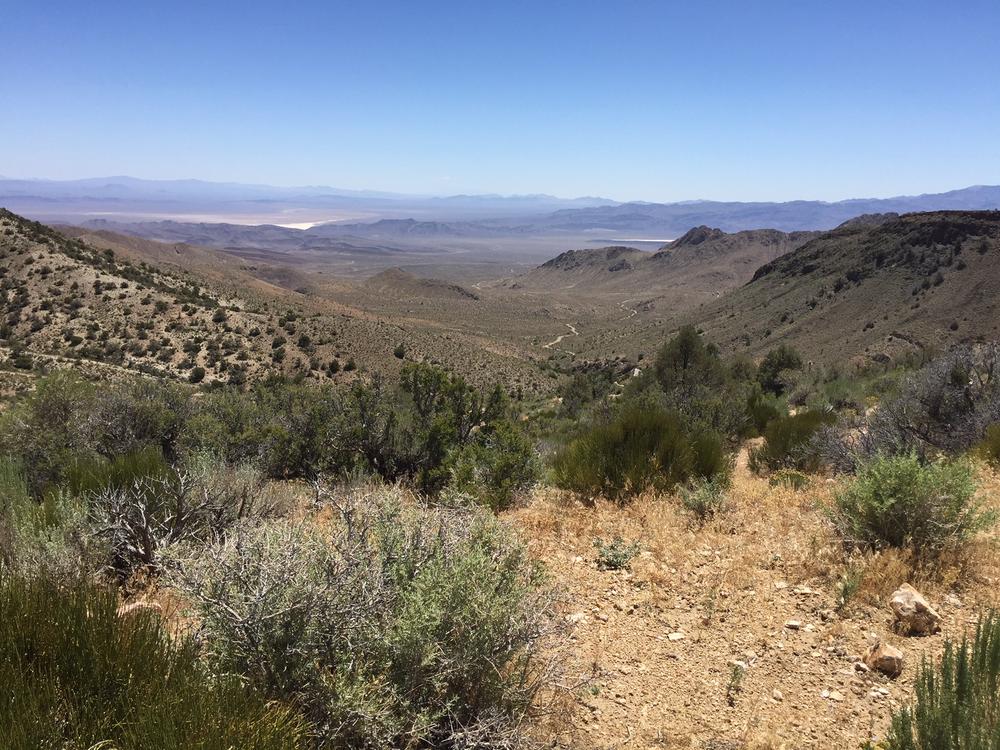
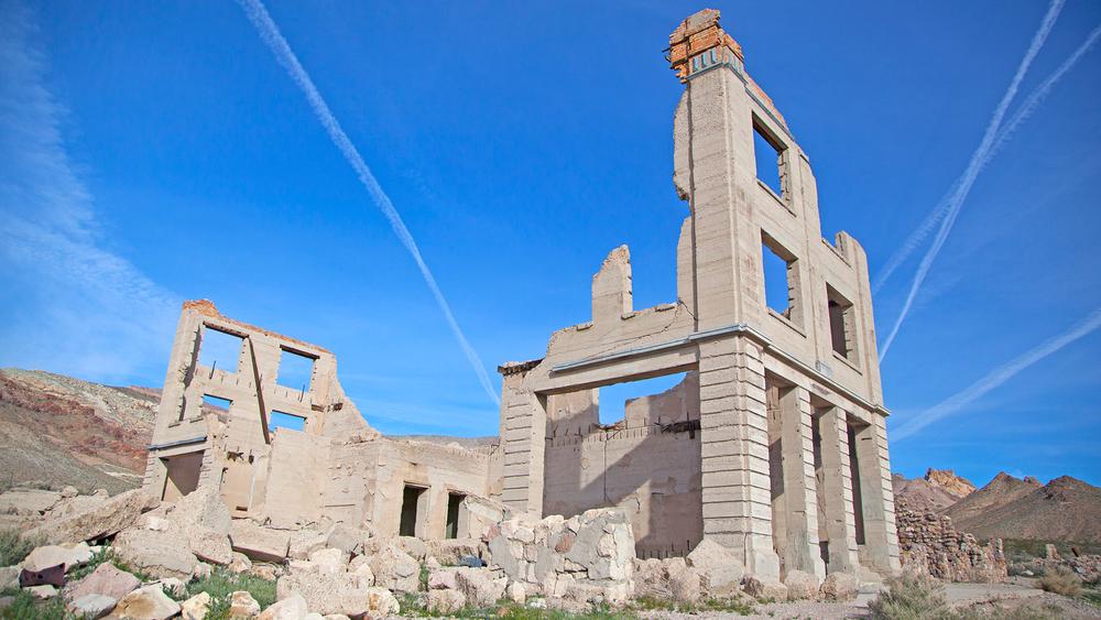
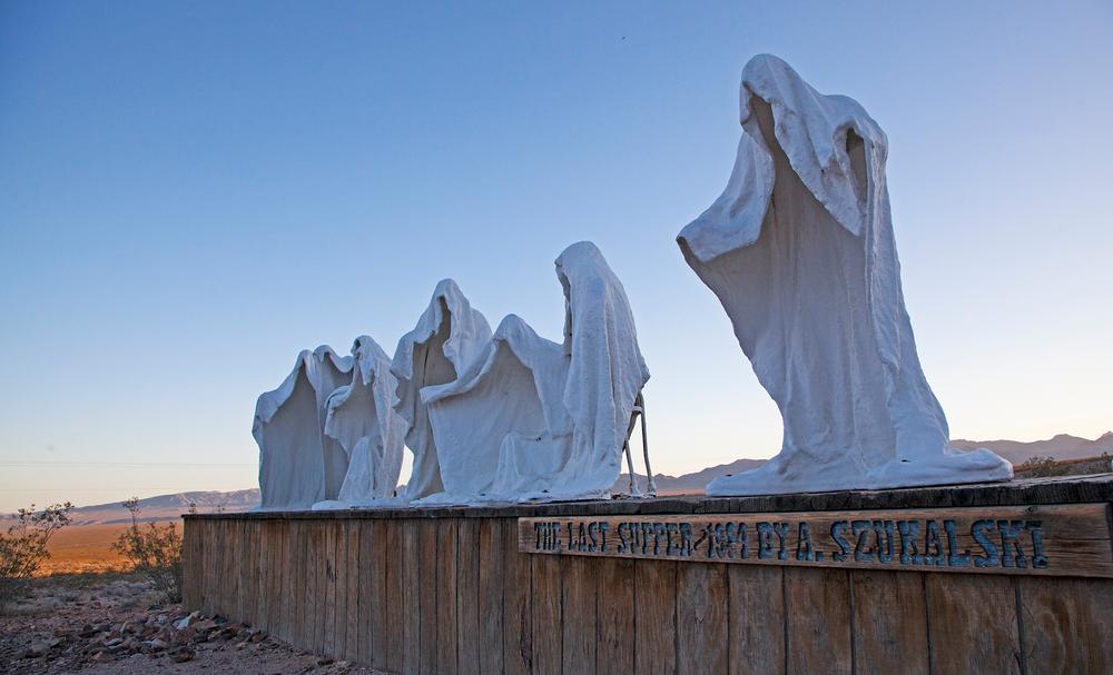
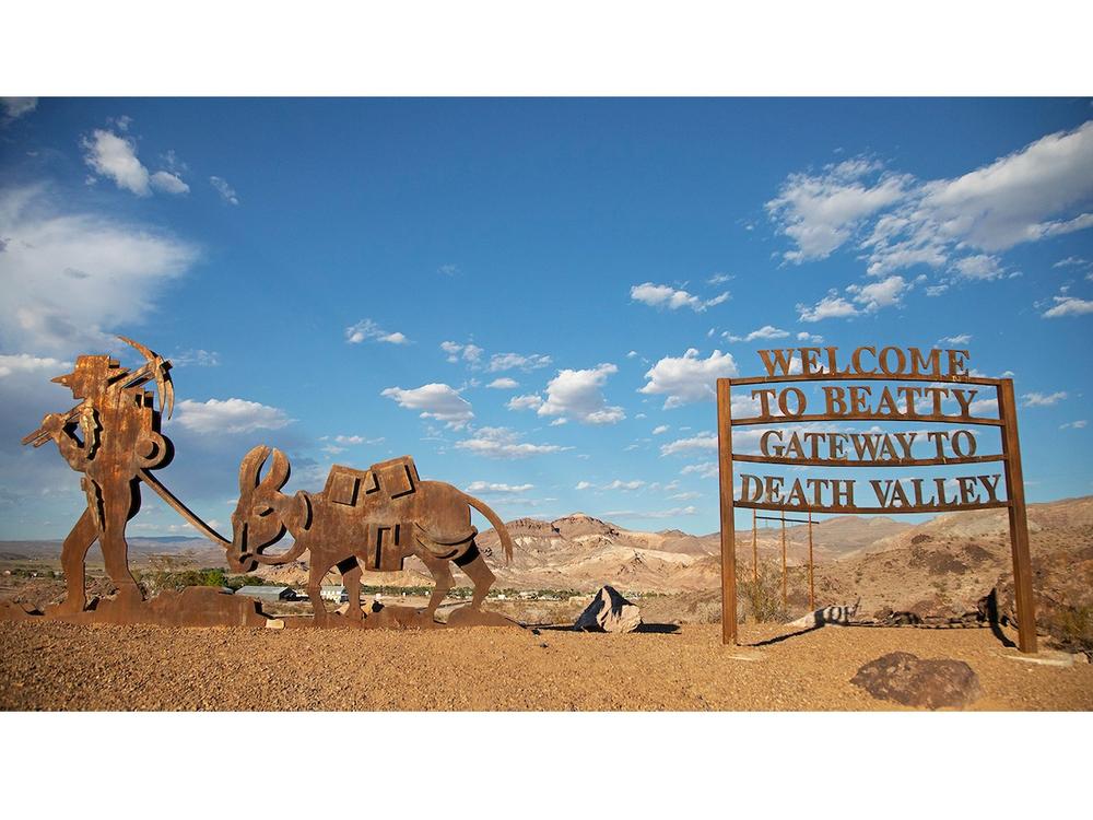
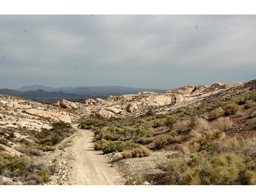
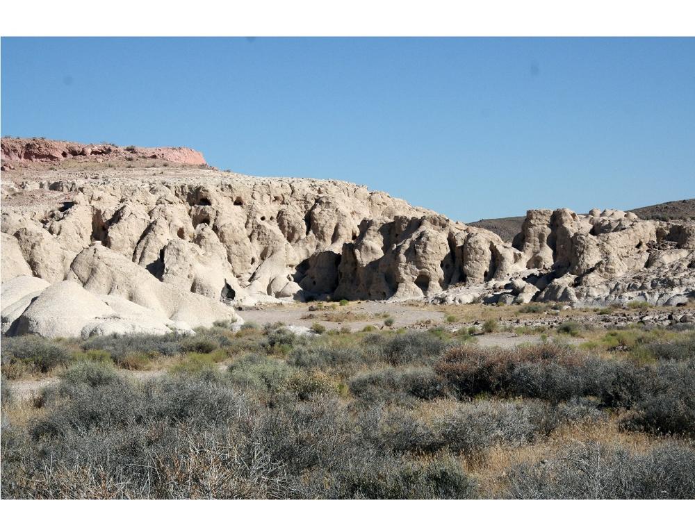
The town of Beatty has a rich mining history and is Nevada’s “Gateway to Death Valley”. A great day trip out of Beatty is to follow the Bullfrog Historical Mining District Loop, which is approximately 43 miles in length. This adventure loop is a new and unique way to experience the Bullfrog Hills and Bare Mountain region. Trails are primarily old mining and 4WD routes that lead visitors through various historic mine sites, unique geologic formations, and the historic town of Rhyolite. The Goldwell Open Air Museum is another fun attraction in the area. Goldwell showcases a collection of unique statues and art installations and is sure to amaze visitors.
For an interactive map of the routes, with photos and descriptions of various stops on the way, visit our new Story Map. A companion document, with more detailed descriptions of each stop is also available for download.
The Bureau of Land Management has not completed Travel and Transportation planning for this area. The undesignated roads and trails shown on this map are informational only and are subject to change. This map implies no right of access across any private lands displayed on this map. Please follow Responsible Recreation guidelines and stay on existing roads and trails.
See something? Say something! Visit Nevadans for Cultural Preservation to report damage to historical artifacts.
ArcGIS Online Story Map link: https://arcg.is/0fW5jW
Historic Bullfrog Mining District companion document and trail guide.
For more information visit the BLM website or contact:
![]()
Download map files for your own use.
The main trailhead is off of Highway 95, on Fluorspar Canyon Road. Several additional vehicle staging areas exist to the northeast of Beatty off Highway 95. Dispersed camping is allowed throughout the area, but there are also more options close to Beatty as well.
This trail passes by an important historical or cultural area. Please respect the area and future visitors by looking rather than touching.
Success! A new password has been emailed to you.