NEW FEATURE ALERTNow introducing Trailside Services! Add to your adventure by visiting some of Nevada's best local businesses. 

Lincoln County OHV Trails

Come and explore the miles of trails and archeological sites spread throughout Lincoln County!
Trail Uses
Utv/jeep driving Atv riding Dirt biking Hiking Mountain biking E-biking Horseback riding
Location
Lincoln County
Difficulty
Easiest, Easy, Moderate
Towns
Alamo, Caliente, Mesquite, Panaca, Pioche
Surface
Dirt, Gravel/Crushed Stone
Pets
Permitted
Fees
No
Wilderness Areas
Big Rocks Wilderness, Clover Mountains Wilderness, Cougar Canyon Wilderness, Desert NWR Wilderness, Docs Pass Wilderness, Far South Egans Wilderness, Fortification Range Wilderness, Grant Range Wilderness, Highland Ridge Wilderness, Meadow Valley Range Wilderness, Mormon Mountains Wilderness, Mount Grafton Wilderness, Mount Irish Wilderness, Parsnip Peak Wilderness, Quinn Canyon Wilderness, Slaughter Creek Wilderness, South Egan Range Wilderness, South Pahroc Range Wilderness, Tunnel Spring Wilderness, Weepah Spring Wilderness, White Rock Range Wilderness, Worthington Mountains Wilderness
Wilderness Study Areas
Pahranagat NWR Wilderness Study Area, White Rock Range Wilderness Study Area

Description

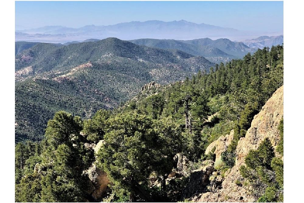
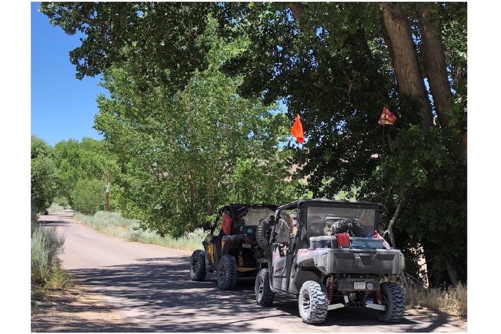
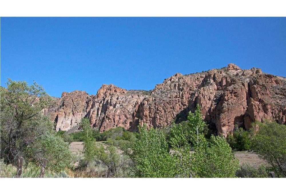
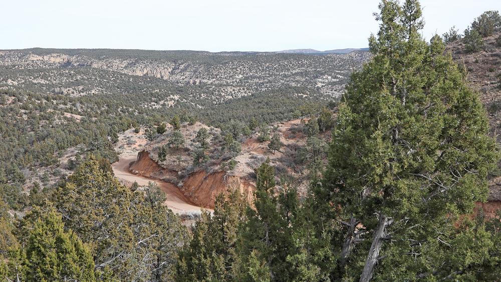
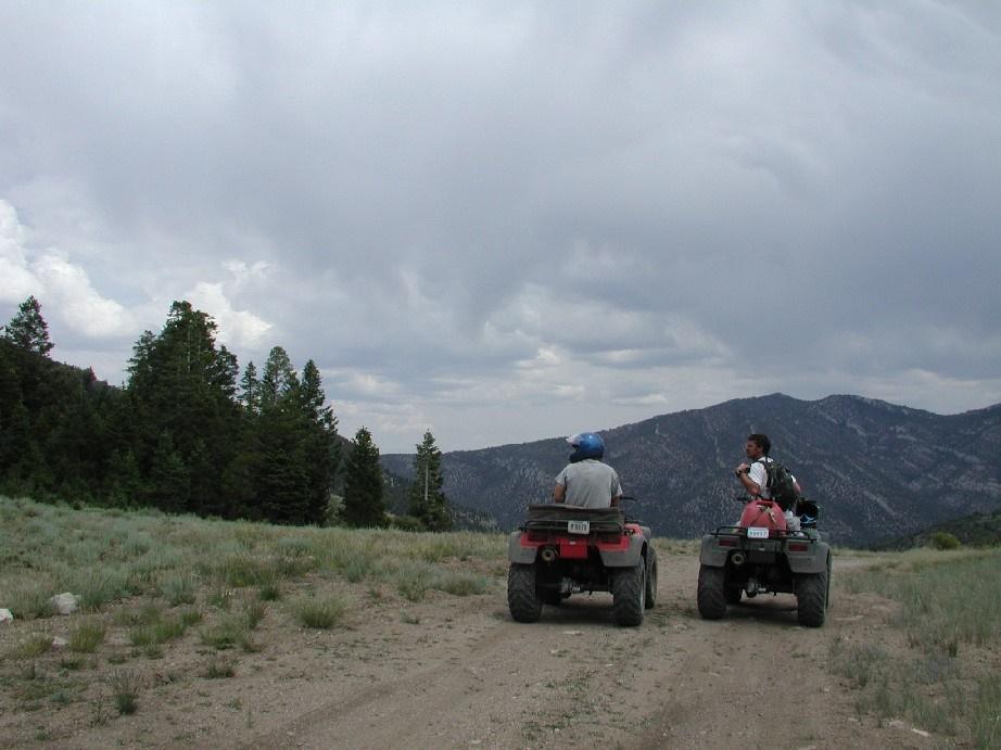
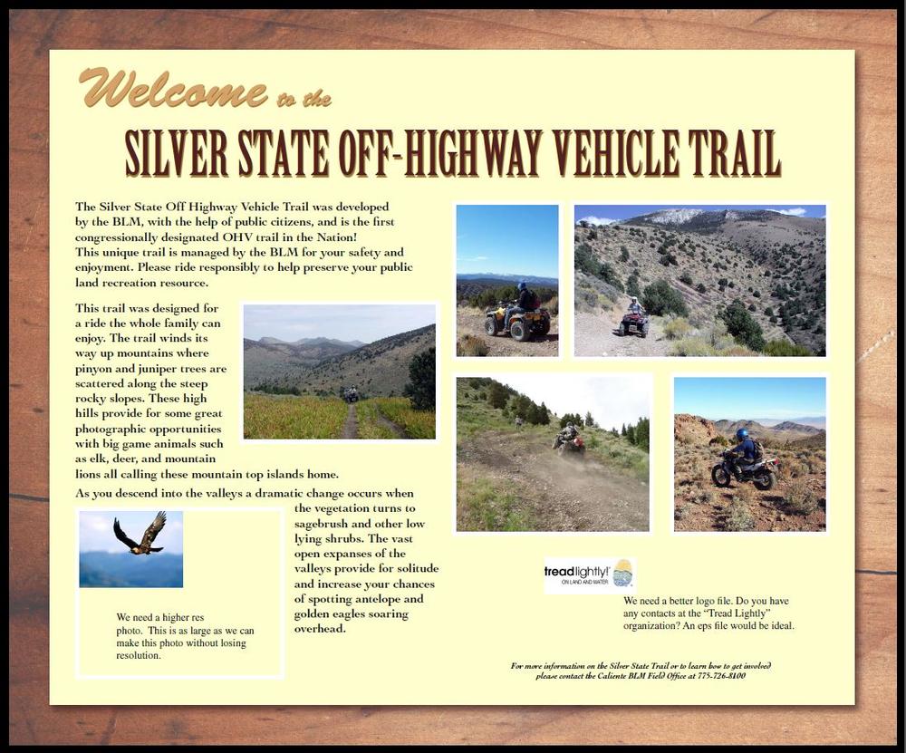
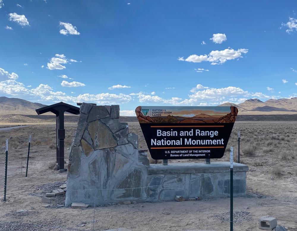
Lincoln County offers a web of trail systems for unlimited OHV fun, with numerous routes through washes and valleys, along forested ridgelines and through sagebrush steppe habitat. The county is home to Basin and Range National Monument, four State Parks, multiple ghost towns, and spectacular vistas and geologic wonders.

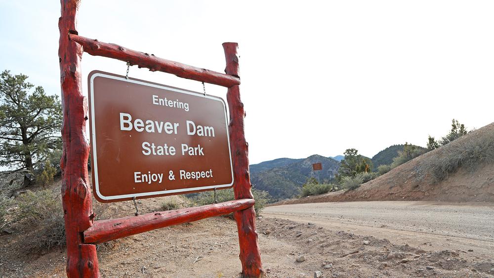
The Northern trails offer access to the Wilson Creek Mountains and opportunities to explore Echo Dam and Spring Valley State Parks, Panaca Hills and the Basin and Range National Monument.

South of Caliente, there is a large network of interloping roads in the area and most are signed by the Kokopelli OHV club based out of Mesquite Nevada. The signs provide guidance to get travelers from Caliente down to Mesquite and back using roads suitable for a full-sized 4wd.

Some roadways are passable by passenger vehicles, but rugged and changing road conditions may require 4-wheel drive, high-clearance vehicles. Depending on weather conditions, some routes may be impassable at certain times of the year. Check with local land managers for current conditions and closures.

Suggested Routes

Other Information

The Bureau of Land Management has not completed Travel and Transportation planning for this area. The undesignated roads and trails shown on this map are informational only and are subject to change. This map implies no right of access across any private lands displayed on this map. Please follow Responsible Recreation guidelines and stay on existing roads and trails.

See something? Say something! Visit Nevadans for Cultural Preservation to report damage to historical artifacts. 

See the Lincoln County Authority on Tourism's website for places to stay, eat and recreate.

Do not touch or take any artifacts from any archeological sites you may come across. Please report damage to archeological sites here!

Trail Manager

Bureau of Land Management - Caliente Field Office

Bureau of Land Management - Caliente Field Office
P.O. Box 237

Caliente, Nevada 89008
Phone: 775-726-8100
BLM_NV_EYDOWebmail@blm.gov
View website

Recreate Responsibly

Travel on Durable Surfaces
If you have to step off the trail, step onto a rock or soil. Avoid stepping on fragile vegetation.
Legend
|
Hide All

Trailhead Information

There are multiple trailheads across the county.  See map for locations.

Chief Mountain South, off of Hwy 93 just east of Caliente, has camping facilities and a practice track for beginner riders.

Click on a parking icon to get custom directions
Please Log In or Create Account to add comments.
Find businesses and organizations that are located around this trail that support adventuring outdoors!
Legend
Hide All
Hide All
No services shown. Try zooming out.
Hang Tight!
Nearby services are loading
SHARE THIS TRAIL
PRINT THIS TRAIL

Add Trail Log

Please wait…
Facebook Instagram YouTube X
Join In on the Fun!
Log in or create an account below to unlock all the great features of Nevada Trail Finder: keep track of trails you want to do, preserve memories of trails you’ve done, earn badges, and more!
Your log in attempt was not successful. Please try again.
    Lost your password? Reset your password
    Don't yet have an account?
    There was an issue with your submission. Please try again.
      * Indicates required field
      Already have an account? Login here
      Enter your username, and we will send you a new, randomly generated password to your email account.
      There was an issue with your submission. Please try again.

        Success! A new password has been emailed to you.

        Log in now

        Please wait…