Spring has sprung in Nevada! Discover the best places to view wildflowers here!

American Discovery Trail

Experience all the various terrains of Nevada on the beautiful and historic American Discovery Trail. 
Trail Uses
Hiking Mountain biking Horseback riding Utv/jeep driving
Location
Carson City, Lander County, Lincoln County, Mineral County, Nye County, Storey County, Washoe County
Length
510.00 miles (One Way)
Towns
Baker, Carson City, Dayton, Ely, Eureka, Incline Village
Pets
Permitted
Fees
No
Wilderness Areas
Alta Toquima Wilderness Area, Arc Dome Wilderness Area, Bald Mountain Wilderness Area, High Schells Wilderness Area, Mount Grafton Wilderness Area, Mount Moriah Wilderness Area, Shellback Wilderness Area, South Egan Range Wilderness Area

Description

The American Discovery trail spans the entirety of the United States, crossing 16 different states. It is typically traveled East to West and split into four regions, Eastern, Central-Northern, Central-Southern, and Western. In total the southern route of the trail is 5,057 miles and the northern route is 4,834 miles. Although considered easy, some sections of the trail travel through very remote places with little to no services or natural resources. 

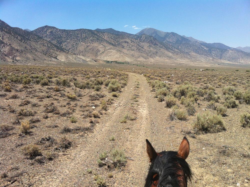
The trail is typically travel by hikers and bicyclists. Equestrians can travel on the majority of the trails, but not all. 

The Nevada portion of the American Discovery Trail is comprised of 8 segments: East to West

  • Utah State Line (Baker) to Preston - 99.7 miles 
  • Preston to Pogues Station- 77.5 miles
  • Pogues Station to Ryegrass Canyon - 44 miles 
  • Ryegrass Canyon to Big Smokey Valley - 50 miles 
  • Big Smokey Valley to Berlin-Ichthyosaur State Park - 50 miles
  • Berlin-Ichthyosaur State Park to Wightman Well - 62 miles 
  • Whiteman Well to Virginia City - 76 miles 
  • Virginia City to California Line - 44.6

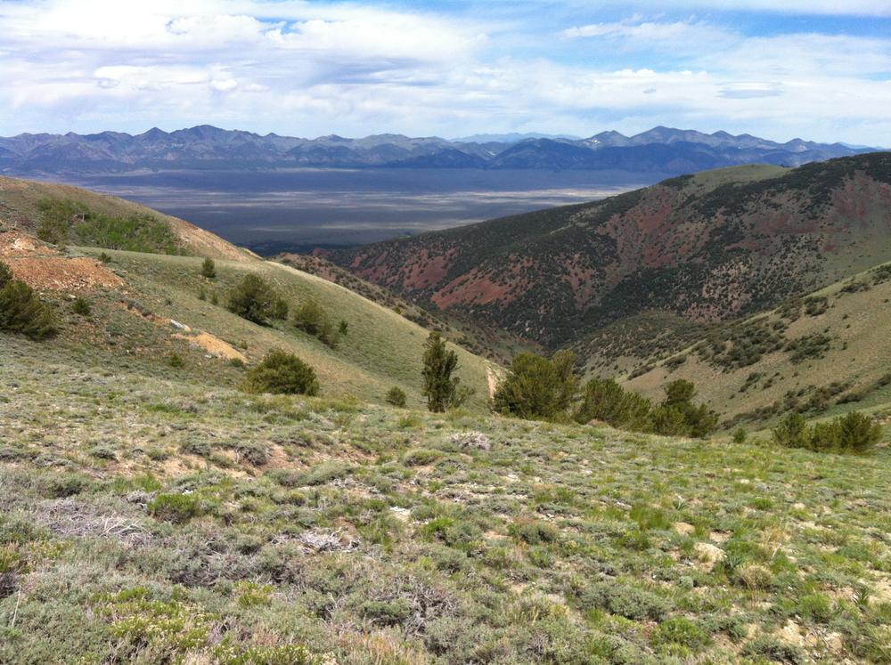
Highlights to see along the trail: 

  • Ward Charcoal Ovens State Park 
  • Berlin-Ichthyosaur State Park
  • Great Basin National Park 
  • Lake Tahoe 
  • Virginia City 
  • Ely Mountain Bike trails 
  • Cave Lake State Park 
  • Ward Mountain 
  • Arc Dome Wilderness

Other Information

The entire trail is not yet fully signed. Please exercise caution and thoroughly research the route and various services before attempting. Expect hot summers, frigid winters and scare water throughout the year. Much of the trail utilizes existing BLM or Forest service roads. 

Some sections of the American Discovery Trail pass through private land and reservations. Please be respectful of the land surrounding you and stay on trail. 

Given that portions of the American Discovery Trail pass through designated wilderness, only hikers and equestrians are allowed within the wilderness boundary. Motorized and mechanized use is only permitted on surrounding non-wilderness trails. Please be respectful of the wilderness boundary and only travel on designated roads and trails for your activity type. Horses are allowed and only certified weed free hay can be brought in. Please see alternate routes around the wilderness areas if you are traveling by bike or motorized vehicle. 

For a break down on each trail segments, please go to the American Discovery Trail Nevada detail page. 

Resupply Locations: 

For equestrian specific information visit Nevada Horse Trails!

Trail Manager

For additional information visit the American Discovery Trail website or contact: 

American Discovery Trail Society

American Discovery Trail Society
PO Box 1514
Front Royal, Virginia 22630-0032
Phone: (800)-663-2387
info@discoverytrail.org
View website

US Forest Service

US Forest Service
View website

Nevada State Parks

Nevada State Parks
901 S. Stewart Street
Suite 5005
Carson City , Nevada 89701
Phone: (775) 684-2770
View website

Download

Download map files for your own use.

Working with Downloaded Files

Recreate Responsibly

Dispose of Waste Properly
Dispose of solid human waste in a cathole 6-8 inches deep and at least 200 feet from water, camp, or trails. Don't forget to cover it up when you're done!
Legend
|
Hide All

Trailhead Information

There are several major access points to this trail. 


Click on a parking icon to get custom directions
Please Log In or Create Account to add comments.
SHARE THIS TRAIL
PRINT THIS TRAIL

Add Trail Log

Please wait…
Facebook Instagram Twitter YouTube
Join In on the Fun!
Log in or create an account below to unlock all the great features of Nevada Trail Finder: keep track of trails you want to do, preserve memories of trails you’ve done, earn badges, and more!
Your log in attempt was not successful. Please try again.
    Lost your password? Reset your password
    Don't yet have an account?
    There was an issue with your submission. Please try again.
      * Indicates required field
      Already have an account? Login here
      Enter your username, and we will send you a new, randomly generated password to your email account.
      There was an issue with your submission. Please try again.

        Success! A new password has been emailed to you.

        Log in now

        Please wait…